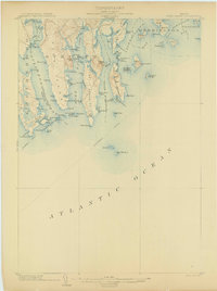
1904 Map of Petit Manan
USGS Topo · Published 1904About this map
The coastal village of Corea sits at the edge of a jagged Downeast landscape defined by deep inlets and maritime industry at the beginning of the twentieth century. This survey documents the intricate shoreline where Goldsboro Bay, Dyer Bay, and Narraguagus Bay reach into the granite-ribbed mainland. Navigation was critical for the local economy, evidenced by the primary Steamboat Route skirting the coast and the strategic positioning of the Petit Manan I. L.H. and Narraguagus L.H. lighthouses.
Find a feature on this map
98 named features on this map. Tap any name to fly to it.
Don’t see what you’re looking for? This feature index may not catch every label — zoom into the map to look around manually.
Map Details
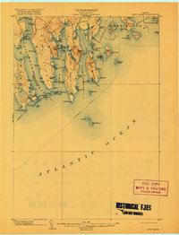
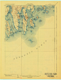
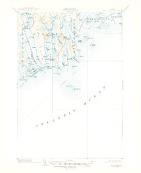
Editions of this 1904 Petit Manan Map
4 editions found
Other maps of this area

1902 · Cherryfield
USGS Topo · 1:62,500

1904 · Cherryfield
USGS Topo · 1:62,500
1904 · Bar Harbor
USGS Topo · 1:62,500
1921 · Great Wass Island
USGS Topo · 1:62,500
1921 · Columbia Falls
USGS Topo · 1:62,500
1930 · Tunk Lake
USGS Topo · 1:48,000
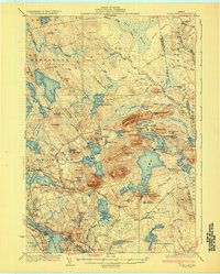
1932 · Tunk Lake
USGS Topo · 1:62,500
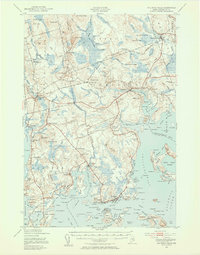
1941 · Columbia Falls
USGS Topo · 1:62,500
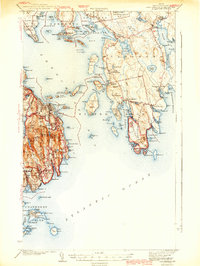
1942 · Bar Harbor
USGS Topo · 1:62,500
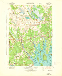
1942 · Cherryfield
USGS Topo · 1:62,500