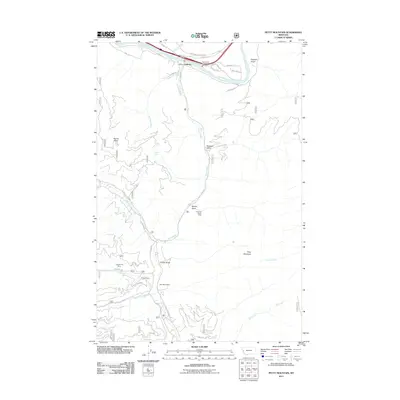
2011 Map of Petty Mountain
USGS Topo · Published 2011About this map
Lothrop sits along the northern bend of the Clark Fork, serving as a focal point for this mountain landscape where river and rail infrastructure historically shaped the narrow valleys. The rugged interior is defined by several resource extraction sites, including the Inverness Group Mine near Spring Gulch and the Teller Barite Mine further south. These locations suggest a history of prospecting and mineral interest that stretches beyond the main waterways into the steep gulches of the surrounding terrain.
Find a feature on this map
40 named features on this map. Tap any name to fly to it.
Don’t see what you’re looking for? This feature index may not catch every label — zoom into the map to look around manually.
Map Details
Editions of this 2011 Petty Mountain Map
This is the sole edition of this map. No revisions or reprints were ever made.
Other maps of this area

1911 · Lolo
USGS Topo · 1:250,000

1912 · Missoula
USGS Topo · 1:125,000

1913 · Lolo
USGS Topo · 1:250,000

1956 · Wallace
USGS Topo · 1:250,000

1956 · Hamilton
USGS Topo · 1:250,000

1959 · Hamilton
USGS Topo · 1:250,000

1959 · Tarkio
USGS Topo · 1:62,500

1959 · Alberton
USGS Topo · 1:62,500

1960 · Wallace
USGS Topo · 1:250,000

1960 · Hamilton
USGS Topo · 1:250,000