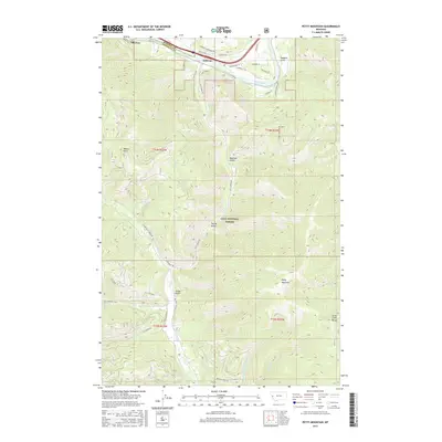
2017 Map of Petty Mountain
USGS Topo · Published 2017About this map
Alberton and the smaller settlement of Lothrop occupy the northern corridor of this landscape, situated along the Clark Fork river at the boundary of Mineral and Missoula Counties. The area is defined by the significant rise of the Grave Creek Range and the namesake Petty Mountain, which anchors the southeastern portion of the quadrangle. Most of the terrain is protected within the Lolo National Forest, characterized by a complex network of timber and access roads such as Petty Creek Rd and W Fork Petty Creek Rd that follow the natural drainage patterns of Petty Cr and its many tributaries.
Find a feature on this map
48 named features on this map. Tap any name to fly to it.
Don’t see what you’re looking for? This feature index may not catch every label — zoom into the map to look around manually.
Map Details
Editions of this 2017 Petty Mountain Map
This is the sole edition of this map. No revisions or reprints were ever made.
Other maps of this area

1911 · Lolo
USGS Topo · 1:250,000

1912 · Missoula
USGS Topo · 1:125,000

1913 · Lolo
USGS Topo · 1:250,000

1956 · Wallace
USGS Topo · 1:250,000

1956 · Hamilton
USGS Topo · 1:250,000

1959 · Hamilton
USGS Topo · 1:250,000

1959 · Tarkio
USGS Topo · 1:62,500

1959 · Alberton
USGS Topo · 1:62,500

1960 · Wallace
USGS Topo · 1:250,000

1960 · Hamilton
USGS Topo · 1:250,000