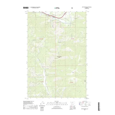
2020 Map of Petty Mountain
USGS Topo · Published 2020About this map
Lothrop sits along the northern edge of this map, situated in the corridor where the Clark Fork river and Hwy 10 cut through the mountains. This 2020 survey reveals a landscape largely defined by the Lolo National Forest, where steep drainages such as Tucker Gulch, Madison Gulch, and Spring Gulch feed into the south-running Petty Creek. The terrain rises sharply toward the Grave Creek Range and the summit of Petty Mtn, which towers over the southeastern portion of the quadrangle. In the lower elevations, modern residential road names like Cinderella Ln and Terrace View Dr indicate contemporary development near the river, contrasting with the remote forest roads such as Printers Creek Rd and Outback Trl that penetrate the high country. The map also captures the Moulton Reservoir Number Two, a small water body tucked away in the southern reaches of this mountainous terrain.
Find a feature on this map
48 named features on this map. Tap any name to fly to it.
Don’t see what you’re looking for? This feature index may not catch every label — zoom into the map to look around manually.
Map Details
Editions of this 2020 Petty Mountain Map
This is the sole edition of this map. No revisions or reprints were ever made.
Other maps of this area

1911 · Lolo
USGS Topo · 1:250,000

1912 · Missoula
USGS Topo · 1:125,000

1913 · Lolo
USGS Topo · 1:250,000

1956 · Wallace
USGS Topo · 1:250,000

1956 · Hamilton
USGS Topo · 1:250,000

1959 · Hamilton
USGS Topo · 1:250,000

1959 · Tarkio
USGS Topo · 1:62,500

1959 · Alberton
USGS Topo · 1:62,500

1960 · Wallace
USGS Topo · 1:250,000

1960 · Hamilton
USGS Topo · 1:250,000