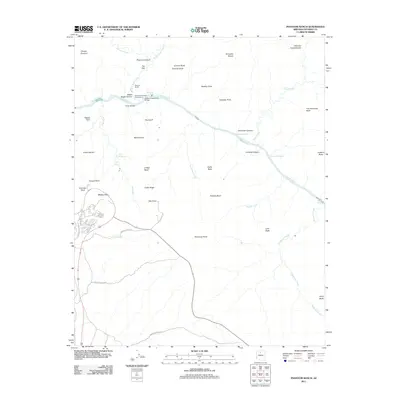
2011 Map of Phantom Ranch
USGS Topo · Published 2011About this map
Phantom Ranch serves as a critical human outpost at the confluence of Bright Angel Creek and the Colorado River, anchoring this 2011 survey of the inner canyon. The map documents the vital infrastructure connecting the north and south rims, including the Kaibab Suspension Bridge and Silver Bridge, which facilitate travel through the formidable gorge. To the south, the development near Mather Point and Yavapai Point contrasts with the remote trail stop at Indian Garden.
Find a feature on this map
52 named features on this map. Tap any name to fly to it.
Don’t see what you’re looking for? This feature index may not catch every label — zoom into the map to look around manually.
Map Details
Editions of this 2011 Phantom Ranch Map
This is the sole edition of this map. No revisions or reprints were ever made.
Other maps of this area

1886 · San Francisco Mtns
USGS Topo · 1:250,000

1886 · Chino
USGS Topo · 1:250,000

1886 · Echo Cliffs
USGS Topo · 1:250,000

1886 · Kaibab
USGS Topo · 1:250,000

1891 · San Francisco Mtns
USGS Topo · 1:250,000

1891 · Chino
USGS Topo · 1:250,000

1891 · Echo Cliffs
USGS Topo · 1:250,000

1894 · San Francisco Mtns
USGS Topo · 1:250,000

1899 · San Francisco Mtns
USGS Topo · 1:250,000

1903 · Bright Angel
USGS Topo · 1:48,000