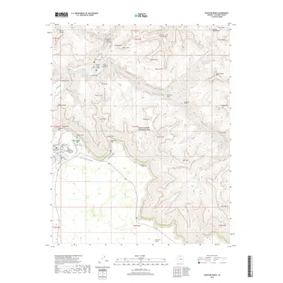
2018 Map of Phantom Ranch
USGS Topo · Published 2018About this map
The Colorado River carves through the center of this terrain, where the historic Phantom Ranch settlement serves as a primary junction for those crossing the canyon floor. Two major engineering feats, the Silver Bridge and the Kaibab Suspension Bridge, facilitate passage over the water, linking the north and south rim trail systems. The complex topography is defined by prominent formations such as Cheops Pyramid, Zoroaster Temple, and Ottoman Amphitheater, while the Arizona National Scenic Trail and Bright Angel Trail provide the primary human transit corridors through the vertical landscape.
Find a feature on this map
106 named features on this map. Tap any name to fly to it.
Don’t see what you’re looking for? This feature index may not catch every label — zoom into the map to look around manually.
Map Details
Editions of this 2018 Phantom Ranch Map
This is the sole edition of this map. No revisions or reprints were ever made.
Other maps of this area

1886 · San Francisco Mtns
USGS Topo · 1:250,000

1886 · Chino
USGS Topo · 1:250,000

1886 · Echo Cliffs
USGS Topo · 1:250,000

1886 · Kaibab
USGS Topo · 1:250,000

1891 · San Francisco Mtns
USGS Topo · 1:250,000

1891 · Chino
USGS Topo · 1:250,000

1891 · Echo Cliffs
USGS Topo · 1:250,000

1894 · San Francisco Mtns
USGS Topo · 1:250,000

1899 · San Francisco Mtns
USGS Topo · 1:250,000

1903 · Bright Angel
USGS Topo · 1:48,000