
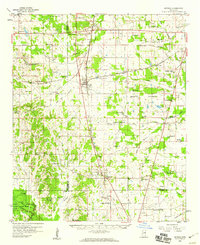
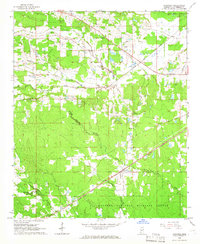
1959 Map of Pheba
USGS Topo · Published 1960About this map
The Columbus and Greenville railroad cuts through the heart of the Clay County countryside, connecting the small community of Pheba to Cedar Bluff and the rail network beyond. This late-1950s landscape is defined by its deep roots in rural education and worship, featuring a dense distribution of country schools such as Beasley High Sch and Lyon Sch, alongside numerous churches like Prairie Creek Ch and St Pauls Ch.
Find a feature on this map
82 named features on this map. Tap any name to fly to it.
Don’t see what you’re looking for? This feature index may not catch every label — zoom into the map to look around manually.
Map Details
Editions of this 1959 Pheba Map
This is the sole edition of this map. No revisions or reprints were ever made.
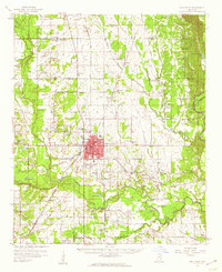
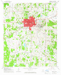
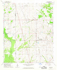
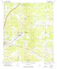
Other maps of this area

1953 · West Point
USGS Topo · 1:250,000

1958 · West Point
USGS Topo · 1:250,000
1959 · Artesia
USGS Topo · 1:62,500
1959 · West Point
USGS Topo · 1:62,500
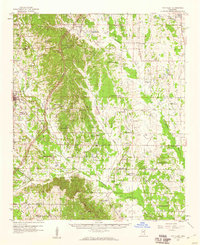
1959 · Van Vleet
USGS Topo · 1:62,500

1963 · West Point
USGS Topo · 1:250,000
1965 · Starkville
USGS Topo · 1:24,000
1965 · Longview
USGS Topo · 1:24,000
1966 · Prairie
USGS Topo · 1:24,000
1972 · Maben
USGS Topo · 1:24,000