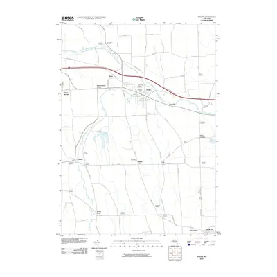
2010 Map of Phelps
USGS Topo · Published 2010About this map
The village of Phelps serves as the focal point of this regional study, situated at the confluence of the Canandaigua Outlet and Flint Creek. The landscape is a network of small, established hamlets and family-named landmarks including Warner Corners, Knickerbocker Corner, and Five Waters Corners, reflecting a deeply rooted settlement pattern in Ontario County. The geography is notably defined by its many burial grounds, ranging from the central Pioneer Cemetery and Resthaven Cemetery to the outlying Saint Marys Cemetery near Geneva.
Find a feature on this map
92 named features on this map. Tap any name to fly to it.
Don’t see what you’re looking for? This feature index may not catch every label — zoom into the map to look around manually.
Map Details
Editions of this 2010 Phelps Map
This is the sole edition of this map. No revisions or reprints were ever made.
Other maps of this area

1899 · Palmyra
USGS Topo · 1:62,500

1902 · Geneva
USGS Topo · 1:62,500

1902 · Clyde
USGS Topo · 1:62,500

1902 · Phelps
USGS Topo · 1:62,500

1902 · Palmyra
USGS Topo · 1:62,500

1942 · Rushville
USGS Topo · 1:31,680

1942 · Stanley
USGS Topo · 1:31,680

1943 · Lyons
USGS Topo · 1:31,680

1943 · Geneva North
USGS Topo · 1:31,680

1943 · Geneva South
USGS Topo · 1:31,680