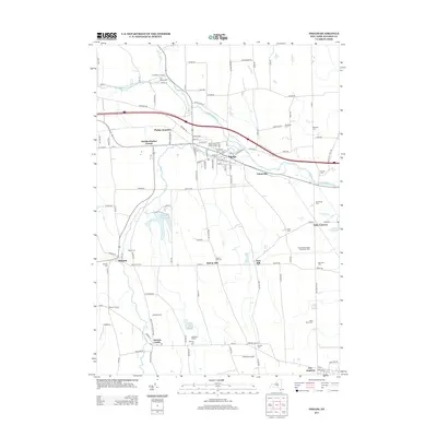
2013 Map of Phelps
USGS Topo · Published 2013About this map
Phelps serves as the central hub for this portion of Ontario County, situated along the winding course of the Canandaigua Outlet. The landscape is a network of historic rural settlements and agrarian infrastructure, where legacy holdings like Day Brothers Dairy And Maple Farm and Hemdale Farms reflect a deeply rooted agricultural economy. Transportation patterns are defined by the convergence of several routes at Phelps Junction and the presence of the Newark Reservoir to the south.
Find a feature on this map
120 named features on this map. Tap any name to fly to it.
Don’t see what you’re looking for? This feature index may not catch every label — zoom into the map to look around manually.
Map Details
Editions of this 2013 Phelps Map
This is the sole edition of this map. No revisions or reprints were ever made.
Other maps of this area

1899 · Palmyra
USGS Topo · 1:62,500

1902 · Geneva
USGS Topo · 1:62,500

1902 · Clyde
USGS Topo · 1:62,500

1902 · Phelps
USGS Topo · 1:62,500

1902 · Palmyra
USGS Topo · 1:62,500

1942 · Rushville
USGS Topo · 1:31,680

1942 · Stanley
USGS Topo · 1:31,680

1943 · Lyons
USGS Topo · 1:31,680

1943 · Geneva North
USGS Topo · 1:31,680

1943 · Geneva South
USGS Topo · 1:31,680