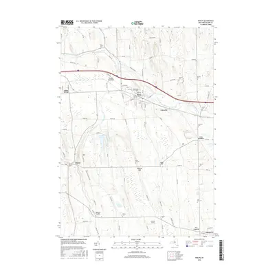
2016 Map of Phelps
USGS Topo · Published 2016About this map
The Canandaigua Outlet and Flint Creek converge near the village of Phelps, a key settlement in this Finger Lakes agricultural landscape. This survey reveals a high density of small family and community burial grounds, including the Five Waters Cem and Whitney Cem, which reflect the area's deep-rooted 19th-century settlement patterns. To the west, Clifton Springs sits near the edge of the sheet, while the southern reaches show the rural hamlets of Orleans and Seneca Castle. The terrain is marked by distinct glacial features like Fort Hill, which overlooks the landscape between Melvin Hill and Oaks Corners. Significant water management is evident at the Newark Reservoir, situated amidst a grid of rural roads like Falkey Rd and Toll Rd that have long connected these farming communities to the rail junction at Phelps Junction.
Find a feature on this map
92 named features on this map. Tap any name to fly to it.
Don’t see what you’re looking for? This feature index may not catch every label — zoom into the map to look around manually.
Map Details
Editions of this 2016 Phelps Map
This is the sole edition of this map. No revisions or reprints were ever made.
Other maps of this area

1899 · Palmyra
USGS Topo · 1:62,500

1902 · Geneva
USGS Topo · 1:62,500

1902 · Clyde
USGS Topo · 1:62,500

1902 · Phelps
USGS Topo · 1:62,500

1902 · Palmyra
USGS Topo · 1:62,500

1942 · Rushville
USGS Topo · 1:31,680

1942 · Stanley
USGS Topo · 1:31,680

1943 · Lyons
USGS Topo · 1:31,680

1943 · Geneva North
USGS Topo · 1:31,680

1943 · Geneva South
USGS Topo · 1:31,680