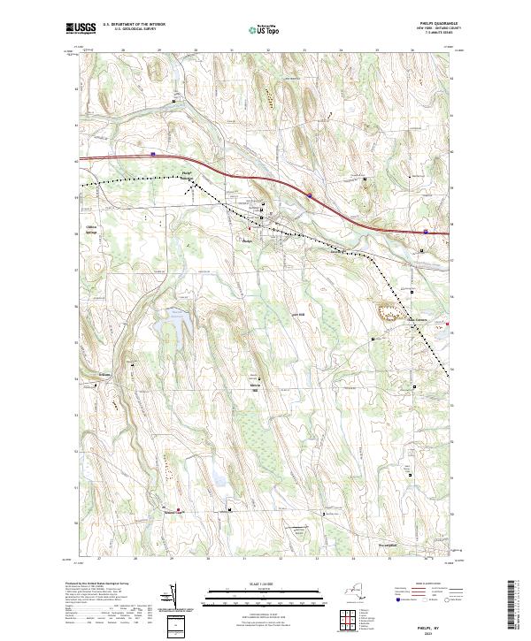
2023 Map of Phelps
USGS Topo · Published 2023About this map
Phelps and its neighboring hamlets are defined by the winding course of the Canandaigua Outlet and the southward flow of Flint Creek. This Ontario County landscape is a patchwork of agricultural lands and historical settlements, where rural roads like Pre Emption Rd and Vienna Rd connect long-standing community centers. The map reveals an area rich in genealogical landmarks, with numerous burial grounds such as Pioneer Cem, Resthaven Cem, and Burnett Cem scattered across the countryside. Notable industrial and infrastructure footprints include the Newark Reservoir and the Phelps Junction rail corridor. From the concentrated village center of Clifton Springs to the outlying elevation of Fort Hill, the map captures a contemporary look at a region that maintains its deep ties to its 19th-century settlement patterns and water-driven geography.
Find a feature on this map
102 named features on this map. Tap any name to fly to it.
Don’t see what you’re looking for? This feature index may not catch every label — zoom into the map to look around manually.
Map Details
Editions of this 2023 Phelps Map
This is the sole edition of this map. No revisions or reprints were ever made.
Other maps of this area

1899 · Palmyra
USGS Topo · 1:62,500

1902 · Geneva
USGS Topo · 1:62,500

1902 · Clyde
USGS Topo · 1:62,500

1902 · Phelps
USGS Topo · 1:62,500

1902 · Palmyra
USGS Topo · 1:62,500

1942 · Rushville
USGS Topo · 1:31,680

1942 · Stanley
USGS Topo · 1:31,680

1943 · Lyons
USGS Topo · 1:31,680

1943 · Geneva North
USGS Topo · 1:31,680

1943 · Geneva South
USGS Topo · 1:31,680