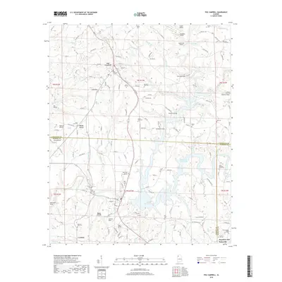
2018 Map of Phil Campbell
USGS Topo · Published 2018About this map
Phil Campbell serves as the primary hub on this North Alabama survey, positioned where the Pine Tree line meets the intersection of regional roads. The landscape is defined by the winding waters of the Upper Bear Cr Reservoir and its numerous tributaries, including Little Bear Cr and Reedy Br. This area exhibits a dense concentration of historical burial sites, such as Mars Hill Cem, Mountain View Cem, and the uniquely named John Bull Cem, indicating a long-established rural community structure across the Franklin, Marion, and Winston County lines.
Find a feature on this map
158 named features on this map. Tap any name to fly to it.
Don’t see what you’re looking for? This feature index may not catch every label — zoom into the map to look around manually.
Map Details
Editions of this 2018 Phil Campbell Map
This is the sole edition of this map. No revisions or reprints were ever made.
Other maps of this area

1936 · Newburg
USGS Topo · 1:24,000

1936 · Delmar
USGS Topo · 1:24,000

1936 · Kinlock Spring
USGS Topo · 1:24,000

1936 · Isbell
USGS Topo · 1:24,000

1936 · Phil Campbell
USGS Topo · 1:24,000

1936 · South Of Hackleburg
USGS Topo · 1:24,000

1936 · Hackleburg
USGS Topo · 1:24,000

1936 · Spruce Pine
USGS Topo · 1:24,000

1936 · Goddard
USGS Topo · 1:24,000

1945 · Spruce Pine
USGS Topo · 1:24,000