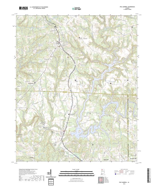
2024 Map of Phil Campbell
USGS Topo · Published 2024About this map
Phil Campbell serves as the primary hub of this landscape, situated near the intersection of several local routes and Railroad St. The area is remarkably dense with burial grounds and historic congregations, such as the Bear Creek Number 1 Baptist Church Cem and the Shiloh Methodist Church Cem, reflecting the deep-rooted family lineages of the region. The map captures a complex topographical interface where Little Bear Creek and Bear Creek wind through the terrain, creating distinctive features like Cofield Bend and Horseshoe Bend. To the west, the settlement of Shady Grove and Carroll Spring highlight the dispersed rural character typical of this part of Alabama. The presence of Donaldson Mill and family-named landmarks like Cuba Ridge and Ikes Knob provide essential points of reference for those tracing 19th and 20th-century development across the Franklin, Marion, and Winston county lines.
Find a feature on this map
162 named features on this map. Tap any name to fly to it.
Don’t see what you’re looking for? This feature index may not catch every label — zoom into the map to look around manually.
Map Details
Editions of this 2024 Phil Campbell Map
This is the sole edition of this map. No revisions or reprints were ever made.
Other maps of this area

1936 · Newburg
USGS Topo · 1:24,000

1936 · Delmar
USGS Topo · 1:24,000

1936 · Kinlock Spring
USGS Topo · 1:24,000

1936 · Isbell
USGS Topo · 1:24,000

1936 · Phil Campbell
USGS Topo · 1:24,000

1936 · South Of Hackleburg
USGS Topo · 1:24,000

1936 · Hackleburg
USGS Topo · 1:24,000

1936 · Spruce Pine
USGS Topo · 1:24,000

1936 · Goddard
USGS Topo · 1:24,000

1945 · Spruce Pine
USGS Topo · 1:24,000