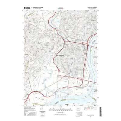
2016 Map of Philadelphia
USGS Topo · Published 2016About this map
Philadelphia and its surrounding boroughs are detailed in this 2016 survey, showcasing the dense urban grid where historical preservation meets modern infrastructure. Along the Schuylkill River, the map identifies the Schuylkill Rowing Basin and Lemon Hill, while the Delaware River waterfront marks the transition to Camden and Gloucester City. The map is particularly strong on institutional and commemorative sites, documenting everything from the Edgar Allan Poe National Historic Site to the grounds of Fort Mifflin near the Philadelphia International Airport.
Find a feature on this map
103 named features on this map. Tap any name to fly to it.
Don’t see what you’re looking for? This feature index may not catch every label — zoom into the map to look around manually.
Map Details
Editions of this 2016 Philadelphia Map
This is the sole edition of this map. No revisions or reprints were ever made.
Other maps of this area

1891 · Philadelphia
USGS Topo · 1:62,500

1893 · Germantown
USGS Topo · 1:62,500

1894 · Chester
USGS Topo · 1:62,500

1894 · Philadelphia
USGS Topo · 1:62,500

1894 · Norristown
USGS Topo · 1:62,500

1894 · Germantown
USGS Topo · 1:62,500

1895 · Norristown
USGS Topo · 1:62,500

1896 · Germantown
USGS Topo · 1:62,500

1896 · Philadelphia
USGS Topo · 1:62,500

1896 · Norristown
USGS Topo · 1:62,500