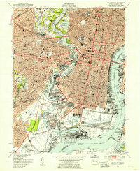
1949 Map of Philadelphia
USGS Topo · Published 1953About this map
Philadelphia is presented in immense detail just after the war, documenting a dense urban core defined by its historic grid and industrial waterfronts. The map captures the city's complex transit network at a peak, showing the heavy presence of the Pennsylvania RR, Reading RR, and B & O RR as they converge on the Schuylkill River and Delaware River. Beyond the downtown center, the landscape is dotted with significant institutions of learning and civic life, from Girard College and the University of Pennsylvania to the vast green space of Fairmount Park.
Find a feature on this map
76 named features on this map. Tap any name to fly to it.
Don’t see what you’re looking for? This feature index may not catch every label — zoom into the map to look around manually.
Map Details
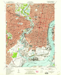
Editions of this 1949 Philadelphia Map
2 editions found
Other maps of this area

1891 · Philadelphia
USGS Topo · 1:62,500

1893 · Germantown
USGS Topo · 1:62,500

1894 · Chester
USGS Topo · 1:62,500

1894 · Philadelphia
USGS Topo · 1:62,500

1894 · Norristown
USGS Topo · 1:62,500

1894 · Germantown
USGS Topo · 1:62,500

1895 · Norristown
USGS Topo · 1:62,500

1896 · Germantown
USGS Topo · 1:62,500

1896 · Philadelphia
USGS Topo · 1:62,500

1896 · Norristown
USGS Topo · 1:62,500