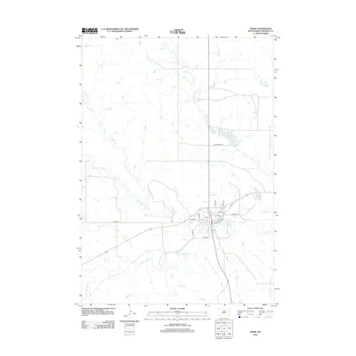
2012 Map of Philip
USGS Topo · Published 2012About this map
Philip sits at the confluence of the N Fork Bad River and the S Fork Bad River, forming the primary course of the Bad River. This 2012 survey illustrates a central plains town defined by its hydraulic landscape and a rigid street grid that transitions into the wide, open ranching country of Haakon County. The town layout is anchored by historical thoroughfares like Railway St and W Pine St, reflecting its origins as a regional hub for transportation and trade.
Find a feature on this map
24 named features on this map. Tap any name to fly to it.
Don’t see what you’re looking for? This feature index may not catch every label — zoom into the map to look around manually.
Map Details
Editions of this 2012 Philip Map
This is the sole edition of this map. No revisions or reprints were ever made.
Other maps of this area

1953 · Philip Junction
USGS Topo · 1:24,000

1953 · Philip
USGS Topo · 1:24,000

1953 · Philip SE
USGS Topo · 1:24,000

1954 · Kadoka NE
USGS Topo · 1:24,000

1954 · Pierre
USGS Topo · 1:250,000

1955 · Martin
USGS Topo · 1:250,000

1958 · Pierre
USGS Topo · 1:250,000

1958 · Martin
USGS Topo · 1:250,000

1961 · Cottonwood NE
USGS Topo · 1:24,000

1980 · Kadoka
USGS Topo · 1:100,000