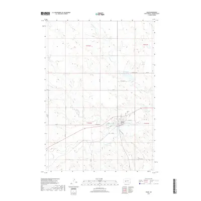
2017 Map of Philip
USGS Topo · Published 2017About this map
Philip serves as the central hub of this Haakon County landscape, situated precisely where the N Fork Bad River and S Fork Bad River converge to form the Bad River. The town's grid is detailed with street-level precision, showing local arteries like W Pine St, Bridge St, and Park Ave. This modern survey highlights the area's vital water resources, from the expansive Sunshine Lake on the eastern edge to the northern reaches of Waggoner Lake. The surrounding terrain is defined by a network of drainage systems, including Grindstone Cr and Mexican Cr, which cut through the high plains. For those researching local heritage, the Masonic Cem stands as a significant landmark just north of the town center, while a web of rural routes like Willow Creek Rd and E Grindstone Rd connect the isolated ranching tracts of the western Dakotas.
Find a feature on this map
34 named features on this map. Tap any name to fly to it.
Don’t see what you’re looking for? This feature index may not catch every label — zoom into the map to look around manually.
Map Details
Editions of this 2017 Philip Map
This is the sole edition of this map. No revisions or reprints were ever made.
Other maps of this area

1953 · Philip Junction
USGS Topo · 1:24,000

1953 · Philip
USGS Topo · 1:24,000

1953 · Philip SE
USGS Topo · 1:24,000

1954 · Kadoka NE
USGS Topo · 1:24,000

1954 · Pierre
USGS Topo · 1:250,000

1955 · Martin
USGS Topo · 1:250,000

1958 · Pierre
USGS Topo · 1:250,000

1958 · Martin
USGS Topo · 1:250,000

1961 · Cottonwood NE
USGS Topo · 1:24,000

1980 · Kadoka
USGS Topo · 1:100,000