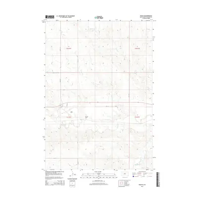
2015 Map of Philip SE
USGS Topo · Published 2015About this map
Philip Airport anchors the central-west portion of this Haakon County landscape, situated just north of the meandering Bad River. The terrain is defined by a series of drainage systems that carve through the high plains, including Medicine Cr in the north and the wide depression of Belcher Draw. The map reveals a transition in land use, where section lines like 226th Ave and 231st St provide the framework for rural life, while newer developments such as Lakeside Estates Rd suggest shifting residential patterns. In the southern reaches, White Willow Cr cuts through the topography, illustrating the intricate natural irrigation that has long dictated the placement of homesteads and grazing lands in this part of South Dakota.
Find a feature on this map
19 named features on this map. Tap any name to fly to it.
Don’t see what you’re looking for? This feature index may not catch every label — zoom into the map to look around manually.
Map Details
Editions of this 2015 Philip SE Map
This is the sole edition of this map. No revisions or reprints were ever made.
Other maps of this area

1953 · Philip Junction
USGS Topo · 1:24,000

1953 · Philip
USGS Topo · 1:24,000

1953 · Philip SE
USGS Topo · 1:24,000

1954 · Belvidere NW
USGS Topo · 1:24,000

1954 · Kadoka NE
USGS Topo · 1:24,000

1954 · Powell
USGS Topo · 1:24,000

1954 · Pierre
USGS Topo · 1:250,000

1955 · Martin
USGS Topo · 1:250,000

1958 · Pierre
USGS Topo · 1:250,000

1958 · Martin
USGS Topo · 1:250,000