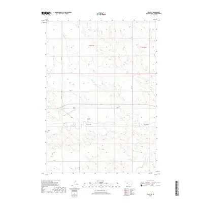
2017 Map of Philip SE
USGS Topo · Published 2017About this map
Bad River meanders across this Haakon County landscape, carving a low-lying valley that serves as a focal point for local drainage and historic land divisions. The region is defined by its extensive system of intermittent waterways and drainage features, including the prominent Belcher Draw and the various forks of Medicine Creek, Wilburn Creek, and Grindstone Creek. These geographic features dictated the placement of the early section lines and transportation routes that still define the prairie today.
Find a feature on this map
19 named features on this map. Tap any name to fly to it.
Don’t see what you’re looking for? This feature index may not catch every label — zoom into the map to look around manually.
Map Details
Editions of this 2017 Philip SE Map
This is the sole edition of this map. No revisions or reprints were ever made.
Other maps of this area

1953 · Philip Junction
USGS Topo · 1:24,000

1953 · Philip
USGS Topo · 1:24,000

1953 · Philip SE
USGS Topo · 1:24,000

1954 · Belvidere NW
USGS Topo · 1:24,000

1954 · Kadoka NE
USGS Topo · 1:24,000

1954 · Powell
USGS Topo · 1:24,000

1954 · Pierre
USGS Topo · 1:250,000

1955 · Martin
USGS Topo · 1:250,000

1958 · Pierre
USGS Topo · 1:250,000

1958 · Martin
USGS Topo · 1:250,000