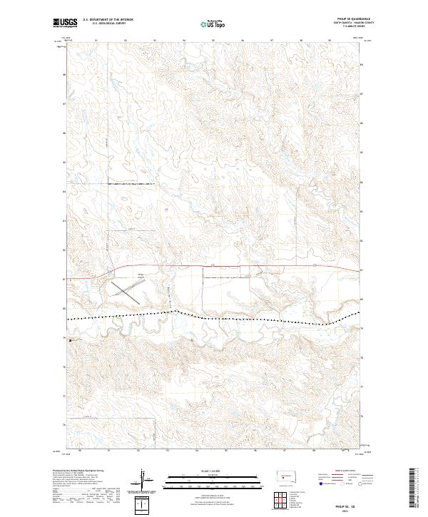
2021 Map of Philip SE
USGS Topo · Published 2021About this map
Bad River and its meandering tributaries dominate this Haakon County landscape, revealing the intricate drainage patterns of the western South Dakota plains. The waterway system, including Medicine Cr and Wilburn Cr, carves through the terrain, illustrating the geographic character of the region south of Philip. This 2021 survey details the rural infrastructure that supports local aviation and ranching, most notably at the Philip Airport. For those tracing local family history, the Wyckoff Cem stands as a significant landmark in the southwest portion of the quadrangle. The map also documents the network of section-line roads, such as Airport Rd and 230th St, which organize the vast prairie into a distinct grid of townships and ranges.
Find a feature on this map
20 named features on this map. Tap any name to fly to it.
Don’t see what you’re looking for? This feature index may not catch every label — zoom into the map to look around manually.
Map Details
Editions of this 2021 Philip SE Map
This is the sole edition of this map. No revisions or reprints were ever made.
Other maps of this area

1953 · Philip Junction
USGS Topo · 1:24,000

1953 · Philip
USGS Topo · 1:24,000

1953 · Philip SE
USGS Topo · 1:24,000

1954 · Belvidere NW
USGS Topo · 1:24,000

1954 · Kadoka NE
USGS Topo · 1:24,000

1954 · Powell
USGS Topo · 1:24,000

1954 · Pierre
USGS Topo · 1:250,000

1955 · Martin
USGS Topo · 1:250,000

1958 · Pierre
USGS Topo · 1:250,000

1958 · Martin
USGS Topo · 1:250,000