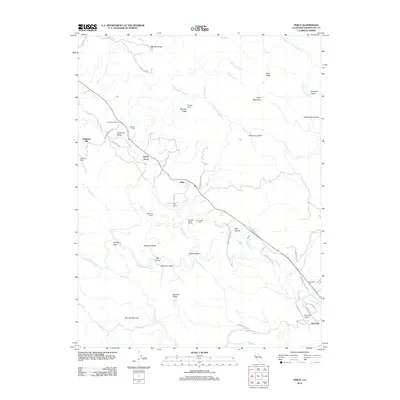
2012 Map of Philo
USGS Topo · Published 2012About this map
Boonville and Philo anchor this part of the Anderson Valley, where the Navarro River meets a network of creeks and ridges in Mendocino County. The geography of the early 21st century is defined by a mix of agriculture and recreation, shown through sites like Rays Resort, Van Zandts Resort, and Tumbling Mc D Ranch. These family-named properties and landmarks, including Whipple Ridge and Peterson Ridge, offer a clear picture of local land ownership and lineage. Genealogists will find the locations of Evergreen Cem and Shields Cem particularly useful for mapping local history. The map also documents vital infrastructure and industry, from the Boonville Airport to the historic site of Philbrick Mill and the preservation of Hendy Grove. The winding course of Rancheria Cr and Anderson Cr illustrates the complex drainage system that has long shaped the settlement patterns of this timber and wine-producing region.
Find a feature on this map
63 named features on this map. Tap any name to fly to it.
Don’t see what you’re looking for? This feature index may not catch every label — zoom into the map to look around manually.
Map Details
Editions of this 2012 Philo Map
This is the sole edition of this map. No revisions or reprints were ever made.
Other maps of this area

1943 · Point Arena
USGS Topo · 1:62,500

1943 · Boonville
USGS Topo · 1:62,500

1943 · Navarro
USGS Topo · 1:62,500

1943 · Ornbaun
USGS Topo · 1:62,500

1944 · Saddle Point
USGS Topo · 1:62,500

1944 · Ornbaun
USGS Topo · 1:62,500

1947 · Santa Rosa
USGS Topo · 1:250,000

1949 · Santa Rosa
USGS Topo · 1:250,000

1957 · Ukiah
USGS Topo · 1:250,000

1958 · Santa Rosa
USGS Topo · 1:250,000