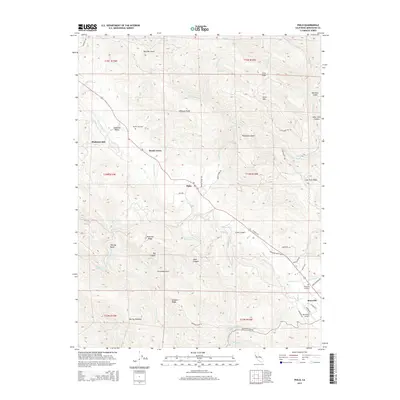
2015 Map of Philo
USGS Topo · Published 2015About this map
Anderson Valley forms the heart of this Mendocino County landscape, where the Navarro River and Anderson Cr converge. The agricultural and timber-oriented character of the region is evident in the layout of settlements like Philo and Boonville, which are connected by the winding path of Highway 128. North of Philo, the Hendy Grove area and Philbrick Mill represent the long-standing forestry roots of the community.
Find a feature on this map
62 named features on this map. Tap any name to fly to it.
Don’t see what you’re looking for? This feature index may not catch every label — zoom into the map to look around manually.
Map Details
Editions of this 2015 Philo Map
This is the sole edition of this map. No revisions or reprints were ever made.
Other maps of this area

1943 · Point Arena
USGS Topo · 1:62,500

1943 · Boonville
USGS Topo · 1:62,500

1943 · Navarro
USGS Topo · 1:62,500

1943 · Ornbaun
USGS Topo · 1:62,500

1944 · Saddle Point
USGS Topo · 1:62,500

1944 · Ornbaun
USGS Topo · 1:62,500

1947 · Santa Rosa
USGS Topo · 1:250,000

1949 · Santa Rosa
USGS Topo · 1:250,000

1957 · Ukiah
USGS Topo · 1:250,000

1958 · Santa Rosa
USGS Topo · 1:250,000