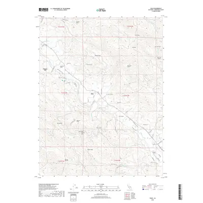
2018 Map of Philo
USGS Topo · Published 2018About this map
Philo and the Navarro River corridor serve as the primary focus of this Mendocino County landscape, where the narrow valley floor transitions into steep ridges. The region’s economic and natural history is evidenced by landmarks such as Philbrick Mill and the expansive Anderson Valley. A network of creeks, including Rancheria Cr and Anderson Cr, deeply dissects the terrain, creating a complex series of gulches and canyons like Ham Canyon and Parkinson Gulch.
Find a feature on this map
72 named features on this map. Tap any name to fly to it.
Don’t see what you’re looking for? This feature index may not catch every label — zoom into the map to look around manually.
Map Details
Editions of this 2018 Philo Map
This is the sole edition of this map. No revisions or reprints were ever made.
Other maps of this area

1943 · Point Arena
USGS Topo · 1:62,500

1943 · Boonville
USGS Topo · 1:62,500

1943 · Navarro
USGS Topo · 1:62,500

1943 · Ornbaun
USGS Topo · 1:62,500

1944 · Saddle Point
USGS Topo · 1:62,500

1944 · Ornbaun
USGS Topo · 1:62,500

1947 · Santa Rosa
USGS Topo · 1:250,000

1949 · Santa Rosa
USGS Topo · 1:250,000

1957 · Ukiah
USGS Topo · 1:250,000

1958 · Santa Rosa
USGS Topo · 1:250,000