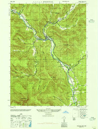
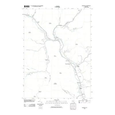
1946 Map of Phoenicia
USGS Topo · Published 1946About this map
Esopus Creek carves a deep valley through the heart of Catskill State Park, serving as the primary corridor for both the New York Central railroad and the region's main settlements in the mid-1940s. The village of Phoenicia sits at the critical junction where Stony Clove Kill and Woodland Creek meet the Esopus, anchoring a network of mountain hamlets including Chichester, Allaben, and Mt Tremper. The landscape is dominated by high peaks like Wittenberg Mtn and Sheridan Mtn, which hem in narrow valleys where local life was concentrated. Small rural schools like School No 8 and Boiceville School are mapped alongside family and community landmarks such as the Shandaken Rural Cem and Hudler Cem, documenting the genealogy of these mountain communities before significant post-war changes.
Find a feature on this map
65 named features on this map. Tap any name to fly to it.
Don’t see what you’re looking for? This feature index may not catch every label — zoom into the map to look around manually.
Map Details
Editions of this 1946 Phoenicia Map
This is the sole edition of this map. No revisions or reprints were ever made.
Historical Maps of Woodstock Through Time
10 maps found

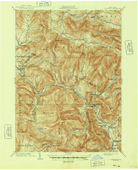
1900 Phoenicia
Ulster County, NY
1903 Phoenicia
Ulster County, NY
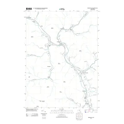
1946 Phoenicia
Ulster County, NY
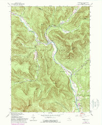
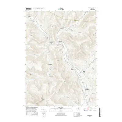
1960 Phoenicia
Ulster County, NY
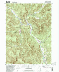
1997 Phoenicia
Ulster County, NY
2010 Phoenicia
Ulster County, NY
2013 Phoenicia
Ulster County, NY
2016 Phoenicia
Ulster County, NY
2019 Phoenicia
Ulster County, NY

2023 Phoenicia
Ulster County, NY