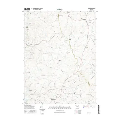
2016 Map of Phoenix
USGS Topo · Published 2016About this map
The Baltimore Co and Harford Co boundary lines divide a landscape of rolling hills and watershed networks where Gunpowder Falls and the Little Gunpowder Falls carve through the terrain. This rural corridor is punctuated by historic crossroad communities like Monkton, Jacksonville, and Sunnybrook, each connected by a complex web of country lanes including Monkton Rd and Jarrettsville Pike. Local history is preserved in sites such as Bethel Cem near Madonna and the Good Will Cem toward the eastern edge.
Find a feature on this map
135 named features on this map. Tap any name to fly to it.
Don’t see what you’re looking for? This feature index may not catch every label — zoom into the map to look around manually.
Map Details
Editions of this 2016 Phoenix Map
This is the sole edition of this map. No revisions or reprints were ever made.
Other maps of this area

1893 · Gunpowder
USGS Topo · 1:62,500

1894 · Baltimore
USGS Topo · 1:62,500

1898 · Tolchester
USGS Topo · 1:125,000

1899 · Baltimore
USGS Topo · 1:62,500

1900 · Parkton
USGS Topo · 1:62,500

1901 · Belair
USGS Topo · 1:62,500

1901 · Gunpowder
USGS Topo · 1:62,500

1902 · Parkton
USGS Topo · 1:62,500

1903 · Tolchester
USGS Topo · 1:125,000

1904 · Baltimore
USGS Topo · 1:62,500
Featured Places
- Pleasant Prospect at Glen Elyn, MD
- Vance Valley, MD
- Brookfield, MD
- Cool Meadows Farms, MD
- Blackhorse, MD