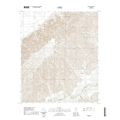
2020 Map of Phoenix
USGS Topo · Published 2020About this map
The small settlement of Phoenix serves as a central point in this part of Yazoo County, where the landscape is defined by the winding course of the Big Black River and its tributary, Beaver Cr. This 2020 survey illustrates the rural connectivity of the region through a network of roads often named for local families and landmarks, such as Mechanicsburg Rd and Hilderbrand Rd.
Find a feature on this map
30 named features on this map. Tap any name to fly to it.
Don’t see what you’re looking for? This feature index may not catch every label — zoom into the map to look around manually.
Map Details
Editions of this 2020 Phoenix Map
This is the sole edition of this map. No revisions or reprints were ever made.
Other maps of this area

1903 · Jackson
USGS Topo · 1:125,000

1934 · Raymond
USGS Topo · 1:48,000

1937 · Raymond
USGS Topo · 1:62,500

1938 · Edwards
USGS Topo · 1:62,500

1940 · Mechanicsburg
USGS Topo · 1:62,500

1942 · Raymond
USGS Topo · 1:62,500

1955 · Jackson
USGS Topo · 1:250,000

1961 · Jackson
USGS Topo · 1:250,000

1962 · Jackson
USGS Topo · 1:250,000

1962 · Flora
USGS Topo · 1:62,500