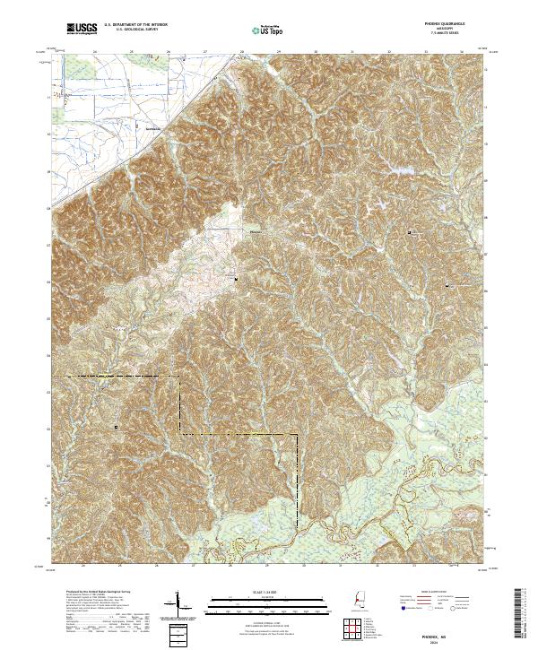
2024 Map of Phoenix
USGS Topo · Published 2024About this map
The Big Black River forms a wide, meandering basin at the southern end of this landscape, marking the historic boundary where Yazoo, Warren, and Hinds counties meet. This modern survey illustrates the rural character of the region, where the upland settlement of Phoenix sits at a crossroads of winding ridge-top routes like Mechanicsburg Rd and Hebron Church Rd. The terrain is defined by deeply dissected hills that drain toward Beaver Creek and the river bottomlands below.
Find a feature on this map
32 named features on this map. Tap any name to fly to it.
Don’t see what you’re looking for? This feature index may not catch every label — zoom into the map to look around manually.
Map Details
Editions of this 2024 Phoenix Map
This is the sole edition of this map. No revisions or reprints were ever made.
Other maps of this area

1903 · Jackson
USGS Topo · 1:125,000

1934 · Raymond
USGS Topo · 1:48,000

1937 · Raymond
USGS Topo · 1:62,500

1938 · Edwards
USGS Topo · 1:62,500

1940 · Mechanicsburg
USGS Topo · 1:62,500

1942 · Raymond
USGS Topo · 1:62,500

1955 · Jackson
USGS Topo · 1:250,000

1961 · Jackson
USGS Topo · 1:250,000

1962 · Jackson
USGS Topo · 1:250,000

1962 · Flora
USGS Topo · 1:62,500