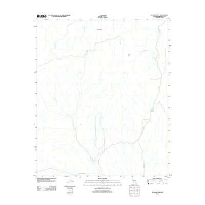
2012 Map of Picacho Peak
USGS Topo · Published 2012About this map
Picacho Peak and Pebble Mountain anchor this arid landscape in Imperial County, defined by a complex network of ephemeral drainage systems. The map illustrates how seasonal water flow has carved the terrain, creating named features like Bear Canyon and a series of expansive washes including Carrizo Wash, Gatuna Wash, and White Wash.
Find a feature on this map
12 named features on this map. Tap any name to fly to it.
Don’t see what you’re looking for? This feature index may not catch every label — zoom into the map to look around manually.
Map Details
Editions of this 2012 Picacho Peak Map
This is the sole edition of this map. No revisions or reprints were ever made.
Other maps of this area
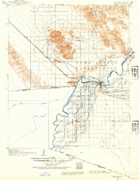
1903 · Yuma
USGS Topo · 1:125,000
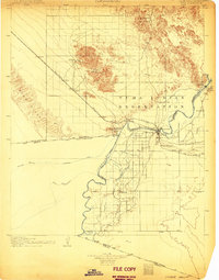
1905 · Yuma
USGS Topo · 1:125,000
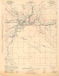
1942 · Yuma
USGS Topo · 1:250,000

1942 · Blythe
USGS Topo · 1:250,000
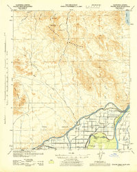
1945 · Picacho Peak
USGS Topo · 1:62,500
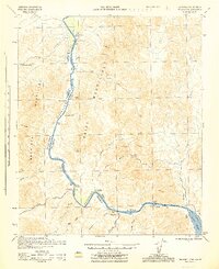
1945 · Picacho
USGS Topo · 1:62,500
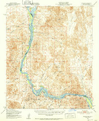
1951 · Picacho
USGS Topo · 1:62,500
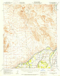
1951 · Picacho Peak
USGS Topo · 1:62,500
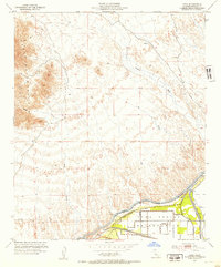
1952 · Araz
USGS Topo · 1:24,000
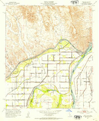
1952 · Bard
USGS Topo · 1:24,000