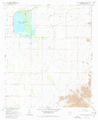
1965 Map of Picacho Reservoir
USGS Topo · Published 1977About this map
Picacho Reservoir dominates this 1960s desert landscape, its waters controlled at Spillway Elev 1505 to support regional irrigation. The irrigation network is clearly defined by the Casa Grande Canal and the Florence Extension, which channel water across the arid flats toward agricultural fields beyond the map's edge. This infrastructure highlights the era's intensive water management efforts in Pinal County.
Find a feature on this map
9 named features on this map. Tap any name to fly to it.
Don’t see what you’re looking for? This feature index may not catch every label — zoom into the map to look around manually.
Map Details
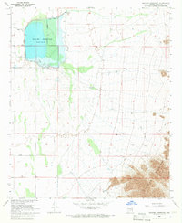
Editions of this 1965 Picacho Reservoir Map
2 editions found
Other maps of this area

1922 · Red Rock No 2
USGS Topo · 1:48,000

1922 · Signal Peak
USGS Topo · 1:62,500

1924 · Signal Peak
USGS Topo · 1:62,500

1934 · Newman Peak
USGS Topo · 1:125,000

1947 · Red Rock
USGS Topo · 1:62,500

1947 · Eloy
USGS Topo · 1:62,500

1948 · Eloy
USGS Topo · 1:62,500

1956 · Tucson
USGS Topo · 1:250,000

1958 · Tucson
USGS Topo · 1:250,000

1959 · Tucson
USGS Topo · 1:250,000