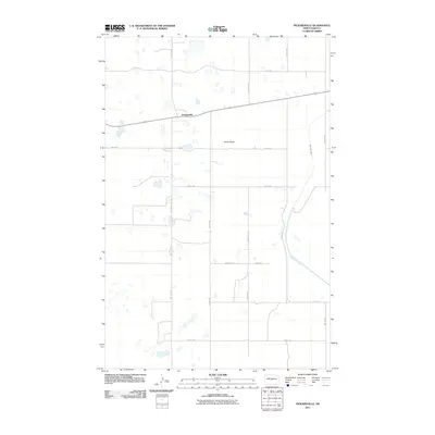
2011 Map of Pickardville
USGS Topo · Published 2011About this map
Pickardville anchors this Sheridan County landscape, situated on a flat stretch of North Dakota prairie that reveals the stark regularity of the Great Plains' section-line grid. The most prominent man-made intervention is the McClusky Canal, which snakes through the eastern half of the quadrangle, cutting across the natural drainage patterns of the region. This water feature represents a significant element of the Garrison Diversion Unit, intended to bring Missouri River water to central and eastern portions of the state.
Find a feature on this map
22 named features on this map. Tap any name to fly to it.
Don’t see what you’re looking for? This feature index may not catch every label — zoom into the map to look around manually.
Map Details
Editions of this 2011 Pickardville Map
This is the sole edition of this map. No revisions or reprints were ever made.
Other maps of this area

1945 · Pelican Lake
USGS Topo · 1:62,500

1947 · Pelican Lake
USGS Topo · 1:62,500

1947 · Lincoln Valley
USGS Topo · 1:62,500

1954 · McClusky
USGS Topo · 1:250,000

1958 · McClusky
USGS Topo · 1:250,000

1959 · Pickardville
USGS Topo · 1:24,000

1959 · Mercer
USGS Topo · 1:24,000

1959 · Mercer SW
USGS Topo · 1:24,000

1959 · Mercer SE
USGS Topo · 1:24,000

1959 · McClusky
USGS Topo · 1:24,000