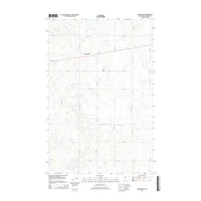
2014 Map of Pickardville
USGS Topo · Published 2014About this map
Pickardville sits at the heart of this Sheridan County landscape, where the prairie is defined by a rigorous grid of section-line roads and the massive engineering of the McClusky Canal. The canal cuts a north-south path through the eastern portion of the quadrangle, serving as a prominent landmark in an area of subtle topographic shifts like Klinks Slope. The town's layout is centered on Main St and Center Ave, with the surrounding farmland partitioned by numbered avenues and streets that extend into the horizon. This 2014 survey reflects the enduring agricultural character of the region, where the intersection of water management and traditional township plats shapes the modern North Dakota countryside.
Find a feature on this map
26 named features on this map. Tap any name to fly to it.
Don’t see what you’re looking for? This feature index may not catch every label — zoom into the map to look around manually.
Map Details
Editions of this 2014 Pickardville Map
This is the sole edition of this map. No revisions or reprints were ever made.
Other maps of this area
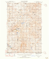
1945 · Pelican Lake
USGS Topo · 1:62,500
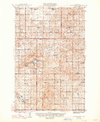
1947 · Pelican Lake
USGS Topo · 1:62,500
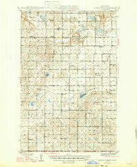
1947 · Lincoln Valley
USGS Topo · 1:62,500
1954 · McClusky
USGS Topo · 1:250,000
1958 · McClusky
USGS Topo · 1:250,000
1959 · Pickardville
USGS Topo · 1:24,000
1959 · Mercer
USGS Topo · 1:24,000
1959 · Mercer SW
USGS Topo · 1:24,000
1959 · Mercer SE
USGS Topo · 1:24,000
1959 · McClusky
USGS Topo · 1:24,000