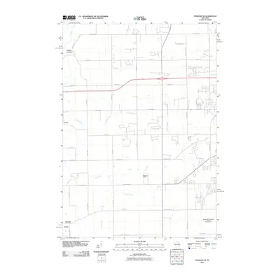
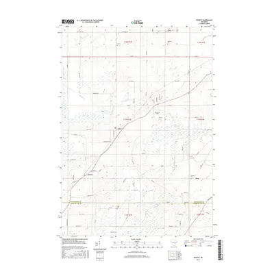
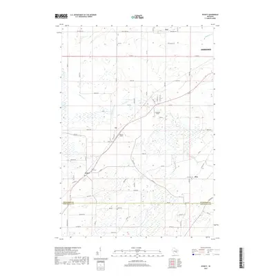
2022 Map of Pickett
USGS Topo · Published 2022About this map
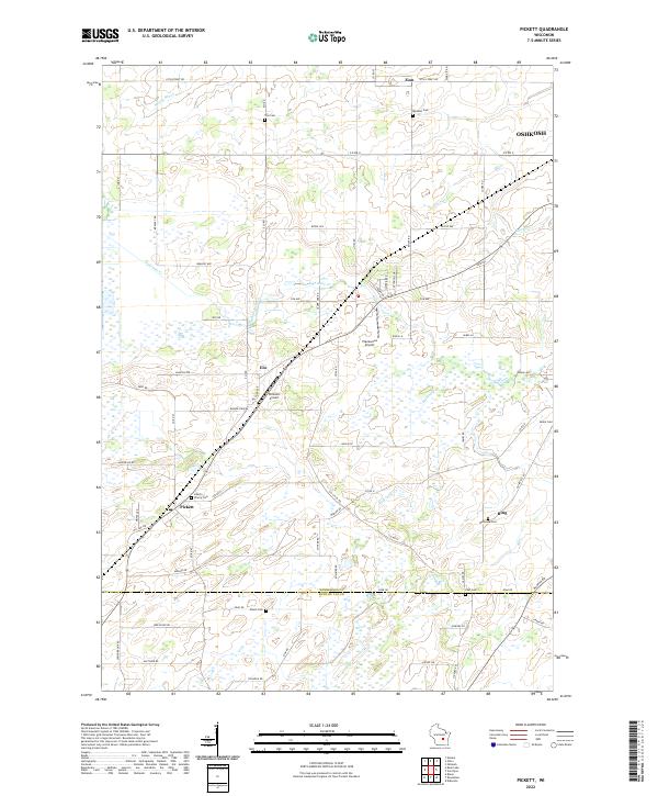
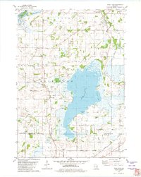
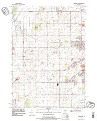
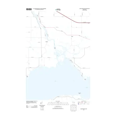
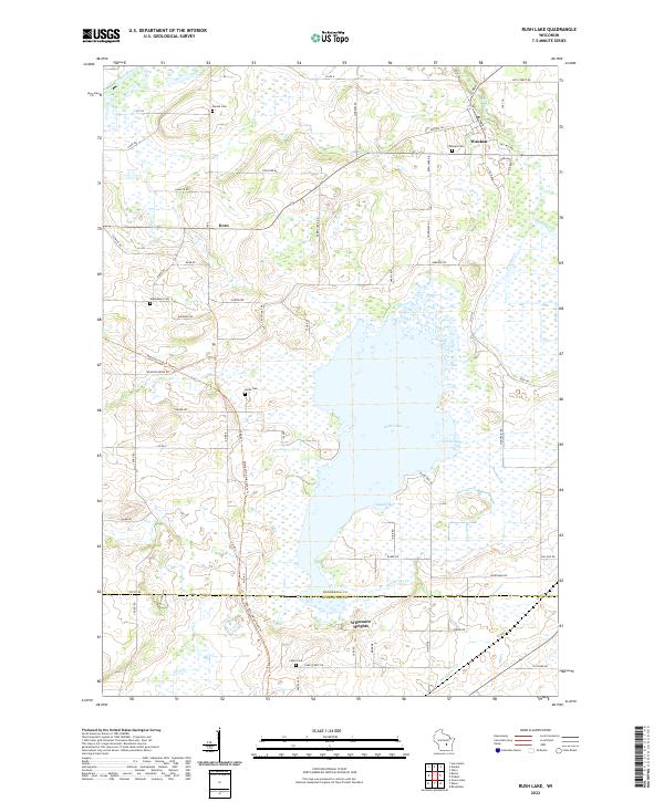
Pickett and the surrounding rural landscape sit at the intersection of Winnebago and Fond du Lac counties, characterized by a dense network of country roads and scattered agricultural settlements. The area shows a high concentration of small burial grounds that speak to the region's pioneering families, including Liberty Prairie Cem, Tice Cem, and Minckler Cem. Small aviation sites like Williams Airport and Planeacres Airport are tucked between farm fields, while Eightmile Creek and Spring Brook drain the lowland areas. This modern survey illustrates how long-established hamlets like Elo, Zion, and Ring have maintained their distinct identity amidst the expanding influence of nearby Oshkosh. The map provides a clear view of the township and range divisions, such as t17n r15e, which continue to define property and jurisdictional lines in this part of Wisconsin.
Find a feature on this map
72 named features on this map. Tap any name to fly to it.
Don’t see what you’re looking for? This feature index may not catch every label — zoom into the map to look around manually.
Map Details
Editions of this 2022 Pickett Map
This is the sole edition of this map. No revisions or reprints were ever made.
Historical Maps of Nekimi Through Time
45 maps found
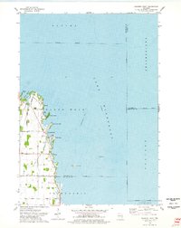
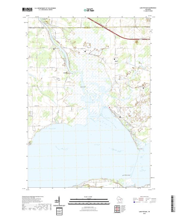
1961 Lake Poygan
Winnebago County, WI
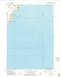
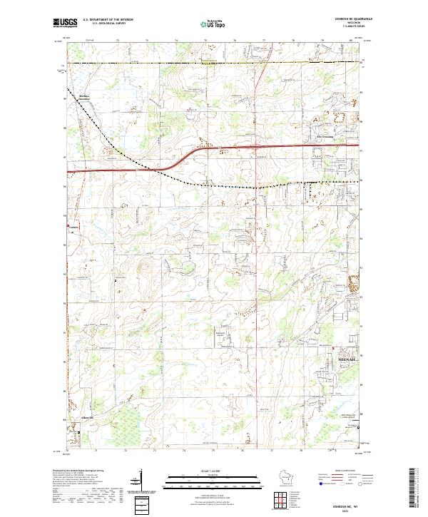
1961 Oshkosh NE
Winnebago County, WI
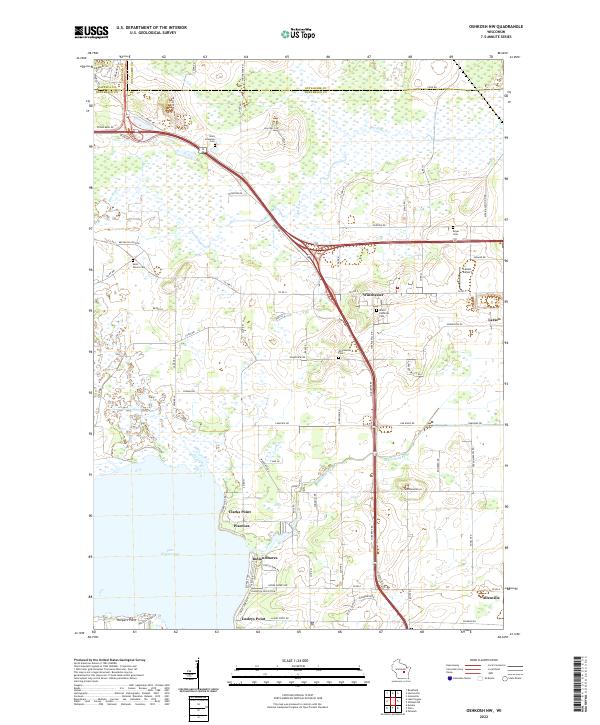
1961 Oshkosh NW
Winnebago County, WI
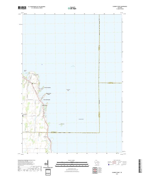
1974 Fahrney Point
Winnebago County, WI
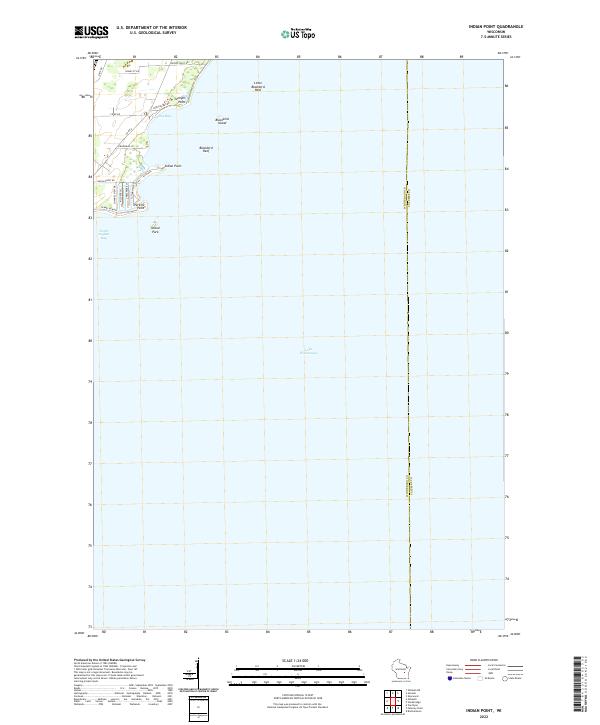
1974 Indian Point
Winnebago County, WI
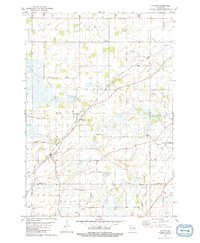
1980 Pickett
Winnebago County, WI
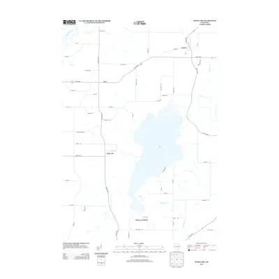
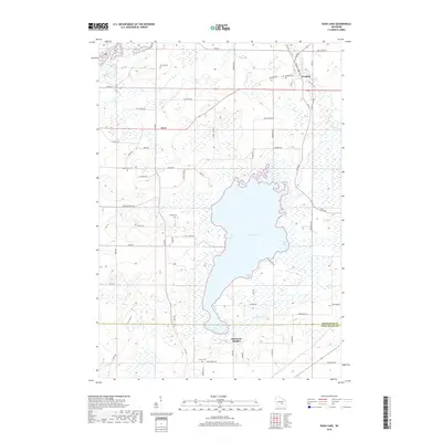
1980 Rush Lake
Winnebago County, WI
1992 Fahrney Point
Winnebago County, WI
1992 Indian Point
Winnebago County, WI
1992 Oshkosh NE
Winnebago County, WI
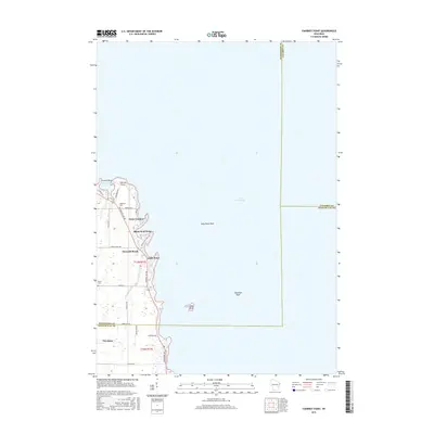
2010 Lake Poygan
Winnebago County, WI
2010 Oshkosh NE
Winnebago County, WI
2010 Oshkosh NW
Winnebago County, WI
2010 Pickett
Winnebago County, WI
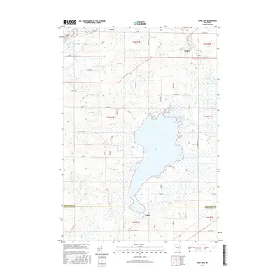
2010 Rush Lake
Winnebago County, WI
2011 Fahrney Point
Winnebago County, WI
2011 Indian Point
Winnebago County, WI
2013 Fahrney Point
Winnebago County, WI
2013 Indian Point
Winnebago County, WI
2013 Lake Poygan
Winnebago County, WI
2013 Oshkosh NE
Winnebago County, WI
2013 Oshkosh NW
Winnebago County, WI
2013 Pickett
Winnebago County, WI
2013 Rush Lake
Winnebago County, WI
2015 Fahrney Point
Winnebago County, WI
2015 Pickett
Winnebago County, WI
2015 Rush Lake
Winnebago County, WI
2016 Indian Point
Winnebago County, WI
2016 Lake Poygan
Winnebago County, WI
2016 Oshkosh NE
Winnebago County, WI
2016 Oshkosh NW
Winnebago County, WI
2018 Fahrney Point
Winnebago County, WI
2018 Indian Point
Winnebago County, WI
2018 Lake Poygan
Winnebago County, WI
2018 Oshkosh NE
Winnebago County, WI
2018 Oshkosh NW
Winnebago County, WI
2018 Pickett
Winnebago County, WI
2018 Rush Lake
Winnebago County, WI
2022 Fahrney Point
Winnebago County, WI
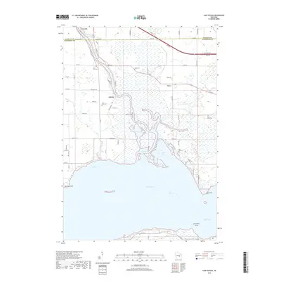
2022 Indian Point
Winnebago County, WI
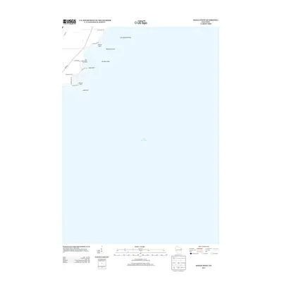
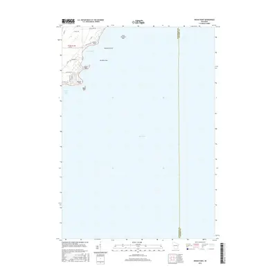
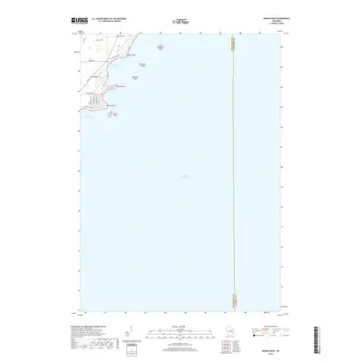
2022 Lake Poygan
Winnebago County, WI
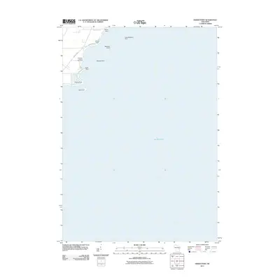
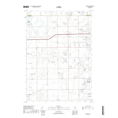
2022 Oshkosh NE
Winnebago County, WI
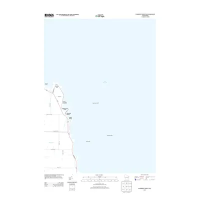
2022 Oshkosh NW
Winnebago County, WI
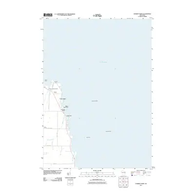
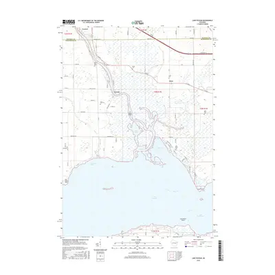
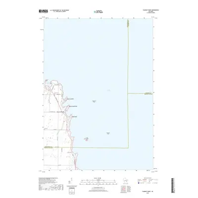
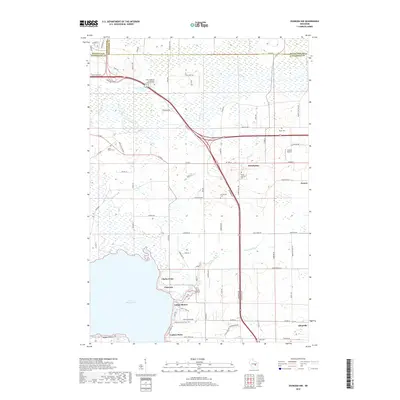
2022 Pickett
Winnebago County, WI
2022 Rush Lake
Winnebago County, WI