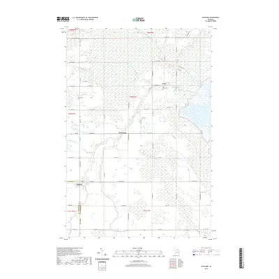
2019 Map of Pickford
USGS Topo · Published 2019About this map
The Munuscong River and its various tributaries define this section of the eastern Upper Peninsula, where the landscape is marked by low-lying wetlands and a grid of rural roads. The settlement of Pickford sits at the junction of M 129 and W Town Line Rd, serving as a focal point for the surrounding agricultural and forest land. Further northeast, the small communities of Stirlingville and Kelden are situated along the riverbanks, illustrating early settlement patterns that followed the local waterways.
Find a feature on this map
40 named features on this map. Tap any name to fly to it.
Don’t see what you’re looking for? This feature index may not catch every label — zoom into the map to look around manually.
Map Details
Editions of this 2019 Pickford Map
This is the sole edition of this map. No revisions or reprints were ever made.
Other maps of this area

1913 · Sault Sainte Marie
USGS Topo · 1:62,500

1919 · Neebish
USGS Topo · 1:62,500

1931 · Pickford SE
USGS Topo · 1:31,680

1941 · Neebish
USGS Topo · 1:63,360

1941 · Sault Sainte Marie
USGS Topo · 1:63,360

1951 · Dafter
USGS Topo · 1:24,000

1951 · Barbeau
USGS Topo · 1:24,000

1951 · Oak Ridge
USGS Topo · 1:24,000

1951 · Sault Ste. Marie
USGS Topo · 1:62,500

1951 · Lake George
USGS Topo · 1:62,500