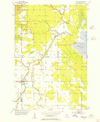
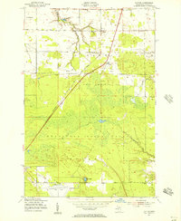
1953 Map of Pickford
USGS Topo · Published 1955About this map
Munuscong State Forest dominates this Eastern Upper Peninsula landscape, where the low-lying terrain meets the marshy western edge of Munuscong Lake. The settlement of Pickford serves as a primary hub near the Mackinac Co Chippewa Co line, characterized by a local High Sch and Pickford Community Park. The area's drainage is defined by the winding path of the Munuscong River and its East Branch, which flow through a network of small crossroad communities and rural farmsteads.
Find a feature on this map
20 named features on this map. Tap any name to fly to it.
Don’t see what you’re looking for? This feature index may not catch every label — zoom into the map to look around manually.
Map Details
Editions of this 1953 Pickford Map
4 editions found
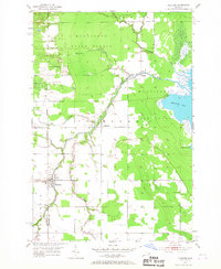
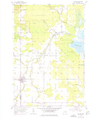

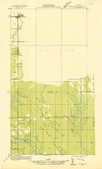
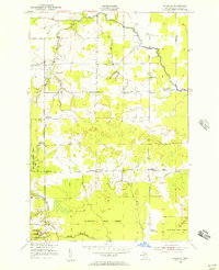
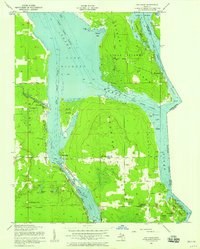
Other maps of this area

1913 · Sault Sainte Marie
USGS Topo · 1:62,500

1919 · Neebish
USGS Topo · 1:62,500
1931 · Pickford SE
USGS Topo · 1:31,680

1941 · Neebish
USGS Topo · 1:63,360

1941 · Sault Sainte Marie
USGS Topo · 1:63,360
1951 · Dafter
USGS Topo · 1:24,000
1951 · Barbeau
USGS Topo · 1:24,000
1951 · Oak Ridge
USGS Topo · 1:24,000
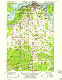
1951 · Sault Ste. Marie
USGS Topo · 1:62,500

1951 · Lake George
USGS Topo · 1:62,500
Featured Places
- Pickford, Pickford Township
- Marquette Township, MI
- Pickford Township, MI
- Stirlingville, Pickford Township
- Kelden, Pickford Township