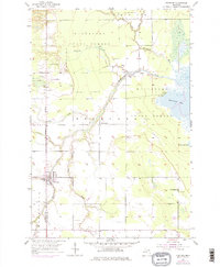
1953 Map of Pickford
USGS Topo · Published 1977About this map
The Michigan Meridian serves as a primary north-south axis through this Upper Peninsula landscape, where the town of Pickford serves as a central hub near the border of Mackinac and Chippewa counties. The agricultural and forested terrain is defined by the winding course of the Munuscong River and its various tributaries, including the East Branch and Little School Creek. The map documents a transition from the structured blocks of the town center—complete with its High School and nearby Pickford Community Park—to the expansive woodlands of the Munuscong State Forest.
Find a feature on this map
25 named features on this map. Tap any name to fly to it.
Don’t see what you’re looking for? This feature index may not catch every label — zoom into the map to look around manually.
Map Details
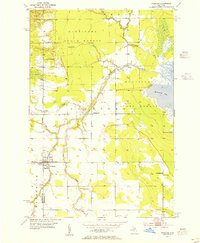
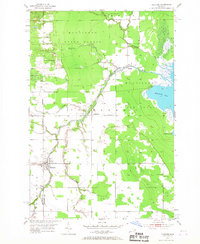
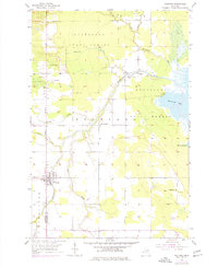
Editions of this 1953 Pickford Map
4 editions found
Other maps of this area

1913 · Sault Sainte Marie
USGS Topo · 1:62,500

1919 · Neebish
USGS Topo · 1:62,500

1931 · Pickford SE
USGS Topo · 1:31,680

1941 · Neebish
USGS Topo · 1:63,360

1941 · Sault Sainte Marie
USGS Topo · 1:63,360

1951 · Dafter
USGS Topo · 1:24,000

1951 · Barbeau
USGS Topo · 1:24,000

1951 · Oak Ridge
USGS Topo · 1:24,000

1951 · Sault Ste. Marie
USGS Topo · 1:62,500

1951 · Lake George
USGS Topo · 1:62,500