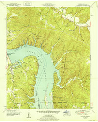
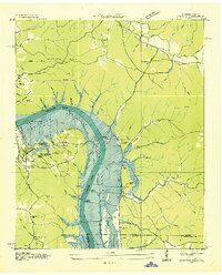
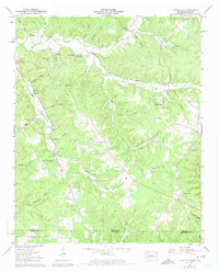
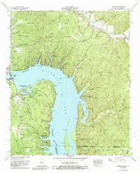
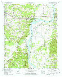
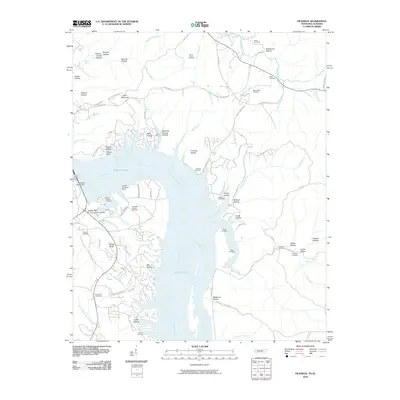
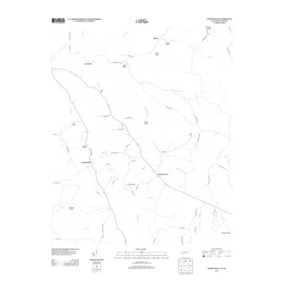
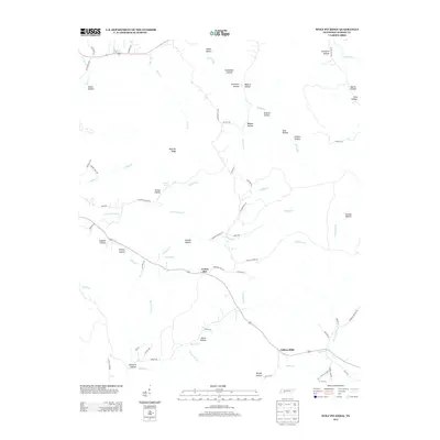
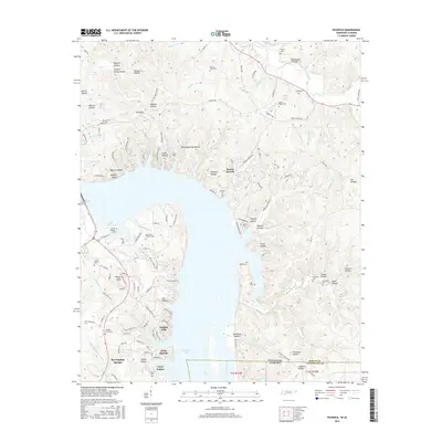
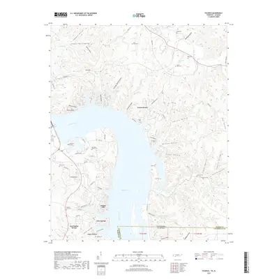
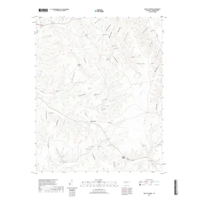
1952 Map of Pickwick
USGS Topo · Published 1952About this map
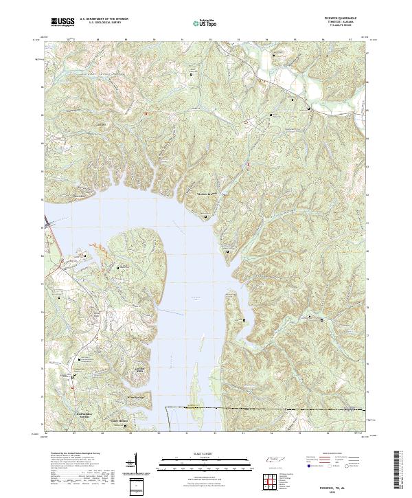
The Pickwick Landing Dam dominates the Tennessee River valley at mid-century, where the Tennessee River swells into the Pickwick Reservoir. This post-war survey illustrates the massive hydraulic engineering of the Tennessee Valley Authority, showing the Pickwick Reservation Boundary and the proximity of Pickwick Village. The landscape is a mix of rising industrial utility and older rural enclaves, particularly south of the river where Red Sulphur Springs and the Shanghai Ch stand near the Alabama state line.
Find a feature on this map
74 named features on this map. Tap any name to fly to it.
Don’t see what you’re looking for? This feature index may not catch every label — zoom into the map to look around manually.
Map Details
Editions of this 1952 Pickwick Map
This is the sole edition of this map. No revisions or reprints were ever made.
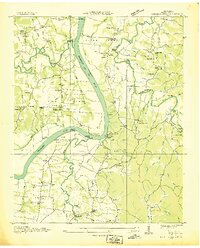
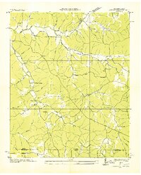
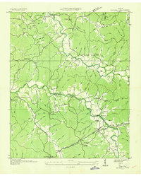
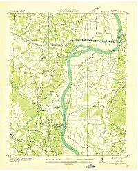
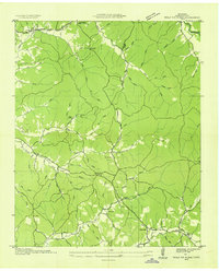
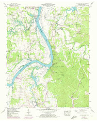
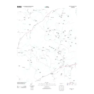
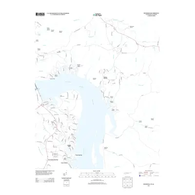
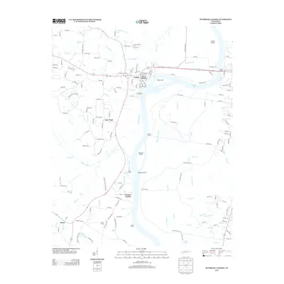
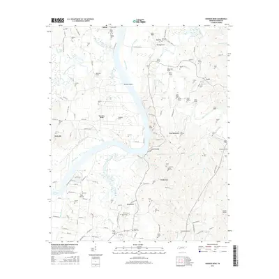
Historical Maps of Caney Hollow Through Time
47 maps found
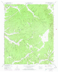
1936 Hookers Bend
Hardin County, TN
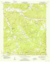
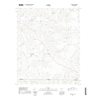
1936 Lowryville
Hardin County, TN
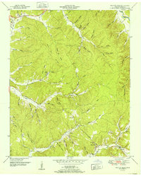
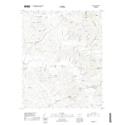
1936 Olivehill
Hardin County, TN
1936 Pickwick
Hardin County, TN
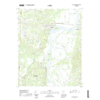
1936 Pittsburg Landing
Hardin County, TN
1936 Wolf Pit Ridge
Hardin County, TN
1949 Hookers Bend
Hardin County, TN
1949 Lowryville
Hardin County, TN
1949 Olivehill
Hardin County, TN
1949 Pickwick
Hardin County, TN
1949 Pittsburg Landing
Hardin County, TN
1949 Wolf Pit Ridge
Hardin County, TN
1952 Lowryville
Hardin County, TN
1952 Pickwick
Hardin County, TN
1952 Wolf Pit Ridge
Hardin County, TN
1972 Pickwick
Hardin County, TN
1972 Pittsburg Landing
Hardin County, TN
2010 Hookers Bend
Hardin County, TN
2010 Lowryville
Hardin County, TN
2010 Olivehill
Hardin County, TN
2010 Pickwick
Hardin County, TN
2010 Pittsburg Landing
Hardin County, TN
2010 Wolf Pit Ridge
Hardin County, TN
2013 Hookers Bend
Hardin County, TN
2013 Lowryville
Hardin County, TN
2013 Olivehill
Hardin County, TN
2013 Pickwick
Hardin County, TN
2013 Pittsburg Landing
Hardin County, TN
2013 Wolf Pit Ridge
Hardin County, TN
2016 Hookers Bend
Hardin County, TN
2016 Lowryville
Hardin County, TN
2016 Olivehill
Hardin County, TN
2016 Pickwick
Hardin County, TN
2016 Pittsburg Landing
Hardin County, TN
2016 Wolf Pit Ridge
Hardin County, TN
2019 Hookers Bend
Hardin County, TN
2019 Lowryville
Hardin County, TN
2019 Olivehill
Hardin County, TN
2019 Pickwick
Hardin County, TN
2019 Pittsburg Landing
Hardin County, TN
2019 Wolf Pit Ridge
Hardin County, TN
2022 Hookers Bend
Hardin County, TN
2022 Lowryville
Hardin County, TN
2022 Olivehill
Hardin County, TN
2022 Pickwick
Hardin County, TN
2022 Pittsburg Landing
Hardin County, TN
2022 Wolf Pit Ridge
Hardin County, TN