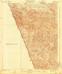
1940 Map of Pico
USGS Topo · Published 1940About this map
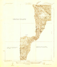
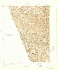
The Santa Susana Mountains dominate this landscape, which straddles the county line between Ventura and Los Angeles. Surveyed in 1936, the map details a region defined by a intricate system of drainages, where the early oil history of the area is represented by the settlement of Pico and the namesake Pico Canyon. The topography reveals the high elevations that provided strategic vantages for fire management, most notably at the Oat Mtn Lookout.
Find a feature on this map
22 named features on this map. Tap any name to fly to it.
Don’t see what you’re looking for? This feature index may not catch every label — zoom into the map to look around manually.
Map Details
Editions of this 1940 Pico Map
This is the sole edition of this map. No revisions or reprints were ever made.
Other maps of this area

1903 · Camulos
USGS Topo · 1:125,000

1903 · Santa Susana
USGS Topo · 1:62,500

1925 · Chatsworth
USGS Topo · 1:24,000

1927 · Chatsworth
USGS Topo · 1:24,000
1928 · Zelzah
USGS Topo · 1:24,000
1929 · Zelzah
USGS Topo · 1:24,000
1929 · Newhall
USGS Topo · 1:24,000
1929 · Chatsworth
USGS Topo · 1:24,000

1929 · Saugus
USGS Topo · 1:24,000
1929 · Pico
USGS Topo · 1:24,000
Featured Places
- Simi Valley, CA
- La Quinta, Unincorporated Chatsworth
- Pico, CA
- Mentryville, CA
- Unincorporated Chatsworth, CA