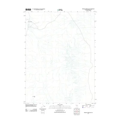
2011 Map of Pidgeon Spring SW
USGS Topo · Published 2011About this map
Burnt Rock Peak stands as the primary landmark in this corner of the High Rock region, rising above a landscape defined by an intricate network of drainage channels that feed toward the sprawling Black Rock Desert. This 2011 topographic survey by the U.S. Geological Survey captures the arid isolation of northwestern Nevada, where the desert floor transitions into more complex terrain. The absence of permanent settlements or infrastructure highlights the environmental character of the Humboldt County desert, where geography is marked solely by volcanic peaks and ephemeral water courses that drain the surrounding basin and range.
Find a feature on this map
2 named features on this map. Tap any name to fly to it.
Don’t see what you’re looking for? This feature index may not catch every label — zoom into the map to look around manually.
Map Details
Editions of this 2011 Pidgeon Spring SW Map
This is the sole edition of this map. No revisions or reprints were ever made.
Other maps of this area

1886 · Disaster
USGS Topo · 1:250,000

1886 · Granite Range
USGS Topo · 1:250,000
1889 · Long Valley
USGS Topo · 1:250,000

1893 · Disaster
USGS Topo · 1:250,000

1894 · Granite Range
USGS Topo · 1:250,000

1931 · Lovelock
USGS Topo · 1:250,000

1935 · Lovelock
USGS Topo · 1:250,000

1954 · Vya
USGS Topo · 1:250,000

1955 · Lovelock
USGS Topo · 1:250,000

1958 · Vya
USGS Topo · 1:250,000