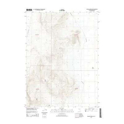
2015 Map of Pidgeon Spring SW
USGS Topo · Published 2015About this map
Black Rock Range dominates the western portion of this Humboldt County landscape, rising sharply from the surrounding basin. This 2015 survey highlights a transition from high peaks like Burnt Rock Peak and Rocky Peak to the eastern expanse of the Black Rock Desert. This area is defined by its topographic extremes, where the verticality of the mountains meets the flat, arid surface of the desert floor. Remote access is tracked via Soldier Meadow Rd in the northwest and Leonard Creek Rd which cuts through the eastern foothills. The map provides a clear picture of the Public Land Survey System grid across T36N and T37N, showing how these cadastral boundaries overlay the complex terrain of the Great Basin.
Find a feature on this map
10 named features on this map. Tap any name to fly to it.
Don’t see what you’re looking for? This feature index may not catch every label — zoom into the map to look around manually.
Map Details
Editions of this 2015 Pidgeon Spring SW Map
This is the sole edition of this map. No revisions or reprints were ever made.
Other maps of this area

1886 · Disaster
USGS Topo · 1:250,000

1886 · Granite Range
USGS Topo · 1:250,000
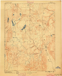
1889 · Long Valley
USGS Topo · 1:250,000

1893 · Disaster
USGS Topo · 1:250,000

1894 · Granite Range
USGS Topo · 1:250,000

1931 · Lovelock
USGS Topo · 1:250,000

1935 · Lovelock
USGS Topo · 1:250,000

1954 · Vya
USGS Topo · 1:250,000

1955 · Lovelock
USGS Topo · 1:250,000

1958 · Vya
USGS Topo · 1:250,000