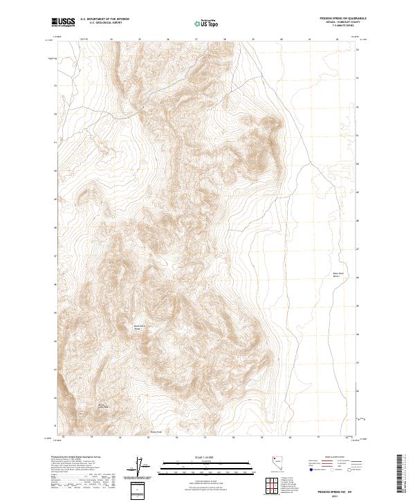
2021 Map of Pidgeon Spring SW
USGS Topo · Published 2021About this map
The Black Rock Range dominates this portion of Humboldt County, characterized by extreme topographic relief that defines the western edge of the Great Basin's iconic basins. Elevations rise sharply from the flat alkali expanse of the Black Rock Desert in the east to the high summits of Burnt Rock Peak and Rocky Peak. This 2021 survey illustrates the stark transition between the playa floor and the mountain block, where the drainage patterns and contour density reveal a landscape shaped by faulting and erosion. The area remains largely defined by its natural landforms, with very few human markers beyond the established township and range lines like t37n r27e and t36n r26e. Researchers of Nevada's wilderness will find the detailed elevation data useful for navigating the complex terrain of the range and its interface with the vast desert floor below.
Find a feature on this map
8 named features on this map. Tap any name to fly to it.
Don’t see what you’re looking for? This feature index may not catch every label — zoom into the map to look around manually.
Map Details
Editions of this 2021 Pidgeon Spring SW Map
This is the sole edition of this map. No revisions or reprints were ever made.
Other maps of this area

1886 · Disaster
USGS Topo · 1:250,000

1886 · Granite Range
USGS Topo · 1:250,000

1889 · Long Valley
USGS Topo · 1:250,000

1893 · Disaster
USGS Topo · 1:250,000

1894 · Granite Range
USGS Topo · 1:250,000

1931 · Lovelock
USGS Topo · 1:250,000

1935 · Lovelock
USGS Topo · 1:250,000

1954 · Vya
USGS Topo · 1:250,000

1955 · Lovelock
USGS Topo · 1:250,000

1958 · Vya
USGS Topo · 1:250,000