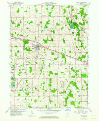
1962 Map of Pierceton
USGS Topo · Published 1964About this map
The Pennsylvania Railroad and the historic Lincoln Highway anchor this 1962 landscape, cutting a straight path through the glacial terrain of northeastern Indiana. The town of Pierceton serves as the central hub, supported by local industry like the Gravel Pits and connected to nearby Wooster and Larwill. The surrounding countryside is defined by an intricate network of drainage, including Leedy Ditch, and a dense cluster of small kettle lakes such as Robinson Lake, Sellers Lake, and Tadpole Lake.
Find a feature on this map
39 named features on this map. Tap any name to fly to it.
Don’t see what you’re looking for? This feature index may not catch every label — zoom into the map to look around manually.
Map Details
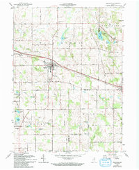
Editions of this 1962 Pierceton Map
2 editions found
Other maps of this area

1950 · Leesburg
USGS Topo · 1:24,000

1950 · Pierceton
USGS Topo · 1:24,000

1950 · North Webster
USGS Topo · 1:24,000

1951 · Ormas
USGS Topo · 1:24,000

1953 · Fort Wayne
USGS Topo · 1:250,000

1956 · Fort Wayne
USGS Topo · 1:250,000

1956 · Lorane
USGS Topo · 1:24,000

1957 · Warsaw
USGS Topo · 1:24,000
1962 · North Manchester North
USGS Topo · 1:24,000
1962 · South Whitley West
USGS Topo · 1:24,000