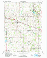
1962 Map of Pierceton
USGS Topo · Published 1994About this map
Pierceton serves as the central hub of this northern Indiana landscape, where the Conrail line facilitates movement through a region defined by its numerous glacial kettles and small lakes. The map reveals a dense network of rural infrastructure, including local landmarks like the Consolidated Sch and Boonesville Ch. To the east, the village of Larwill sits at the edge of the county line, while the western reaches include the community of Wooster.
Find a feature on this map
55 named features on this map. Tap any name to fly to it.
Don’t see what you’re looking for? This feature index may not catch every label — zoom into the map to look around manually.
Map Details
Editions of this 1962 Pierceton Map
2 editions found
Other maps of this area

1950 · Leesburg
USGS Topo · 1:24,000

1950 · Pierceton
USGS Topo · 1:24,000

1950 · North Webster
USGS Topo · 1:24,000

1951 · Ormas
USGS Topo · 1:24,000

1953 · Fort Wayne
USGS Topo · 1:250,000

1956 · Fort Wayne
USGS Topo · 1:250,000

1956 · Lorane
USGS Topo · 1:24,000

1957 · Warsaw
USGS Topo · 1:24,000
1962 · North Manchester North
USGS Topo · 1:24,000
1962 · South Whitley West
USGS Topo · 1:24,000