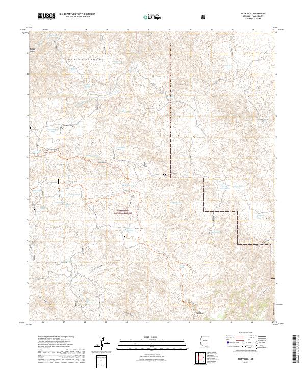
2021 Map of Piety Hill
USGS Topo · Published 2021About this map
Coronado National Forest encompasses this high-desert terrain, where the northern Rincon Mountains meet the foothills of the Santa Catalina Mountains. The landscape is defined by deep drainages like Tanque Verde Canyon and Canyon del Pino, which provide critical seasonal water in an arid environment. Notable hydrology includes Chiva Falls and numerous historic water catchments such as Italian Trap Tank and White Tank.
Find a feature on this map
50 named features on this map. Tap any name to fly to it.
Don’t see what you’re looking for? This feature index may not catch every label — zoom into the map to look around manually.
Map Details
Editions of this 2021 Piety Hill Map
This is the sole edition of this map. No revisions or reprints were ever made.
Other maps of this area

1904 · Tucson
USGS Topo · 1:125,000

1905 · Tucson
USGS Topo · 1:125,000

1945 · Redington
USGS Topo · 1:62,500

1945 · Happy Valley
USGS Topo · 1:62,500

1956 · Tucson
USGS Topo · 1:250,000

1957 · Bellota Ranch
USGS Topo · 1:62,500

1957 · Rincon Valley
USGS Topo · 1:62,500

1957 · Redington
USGS Topo · 1:62,500

1958 · Tucson
USGS Topo · 1:250,000

1958 · Happy Valley
USGS Topo · 1:62,500