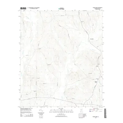
2014 Map of Pigeon Creek
USGS Topo · Published 2014About this map
Pigeon Creek and its many tributaries, including Hard Labor Creek and Persimmon Creek, define the landscape of this southern Alabama territory. Small settlements and points of historic interest are scattered along the rural road network, notably at Halso Mill and Sardis. For those researching local family history, the map provides precise locations for several rural burial grounds, including Mt Carmel Cemetery, Ebenezer Cemetery, and Shiloh Cemetery. The transport pattern is dominated by long-established routes like Al-106 and McKenzie Grade, which cut through the drainage basins of Hawkins Creek and Little Piney Woods Creek. The density of cemeteries relative to the few named settlements suggests a landscape of dispersed family farms and community hubs centered around these historic sites.
Find a feature on this map
49 named features on this map. Tap any name to fly to it.
Don’t see what you’re looking for? This feature index may not catch every label — zoom into the map to look around manually.
Map Details
Editions of this 2014 Pigeon Creek Map
This is the sole edition of this map. No revisions or reprints were ever made.
Other maps of this area
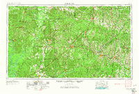
1953 · Andalusia
USGS Topo · 1:250,000
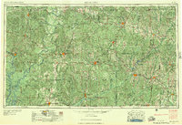
1957 · Andalusia
USGS Topo · 1:250,000
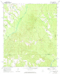
1971 · Industry
USGS Topo · 1:24,000
1971 · Greenville West
USGS Topo · 1:24,000
1971 · Pigeon Creek
USGS Topo · 1:24,000
1971 · Mc Kenzie
USGS Topo · 1:24,000
1971 · Honoraville
USGS Topo · 1:24,000
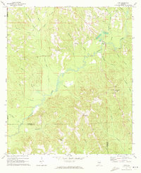
1971 · Leon
USGS Topo · 1:24,000
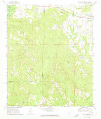
1971 · Moodys Crossroads
USGS Topo · 1:24,000
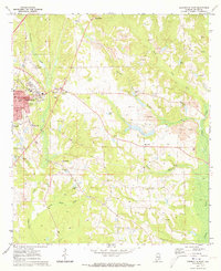
1971 · Greenville East
USGS Topo · 1:24,000