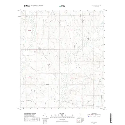
2018 Map of Pigeon Creek
USGS Topo · Published 2018About this map
The settlement at Halso Mill and the surrounding Butler County woodlands are defined by a complex network of tributaries feeding into the Pigeon Creek drainage system. This 2018 survey documents a landscape where rural community life is anchored by numerous local burial grounds, including Mount Carmel Cem in the north and Ebenezer Cem near the central crossroads. The terrain is marked by the low-lying Pigeon Creek Swamp and several named waterways like Hard Labor Cr and Hawkins Cr that wind through the timbered sections of the quadrangle.
Find a feature on this map
47 named features on this map. Tap any name to fly to it.
Don’t see what you’re looking for? This feature index may not catch every label — zoom into the map to look around manually.
Map Details
Editions of this 2018 Pigeon Creek Map
This is the sole edition of this map. No revisions or reprints were ever made.
Other maps of this area
1953 · Andalusia
USGS Topo · 1:250,000
1957 · Andalusia
USGS Topo · 1:250,000
1971 · Industry
USGS Topo · 1:24,000
1971 · Greenville West
USGS Topo · 1:24,000
1971 · Pigeon Creek
USGS Topo · 1:24,000
1971 · Mc Kenzie
USGS Topo · 1:24,000
1971 · Honoraville
USGS Topo · 1:24,000
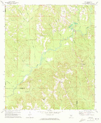
1971 · Leon
USGS Topo · 1:24,000
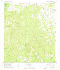
1971 · Moodys Crossroads
USGS Topo · 1:24,000
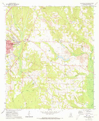
1971 · Greenville East
USGS Topo · 1:24,000