Loading...
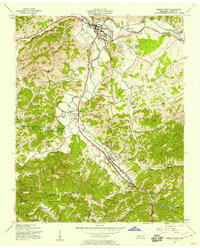
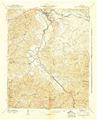
Loading map...1956 Map of Pigeon Forge
USGS Topo · Published 1958About this map
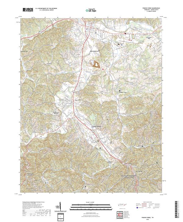
The West Prong Little Pigeon River carves a central corridor through this landscape, anchoring the developing communities of Sevierville and Pigeon Forge. This mid-century survey captures the region as it transitioned into a major gateway for the Smoky Mountains, with the Smoky Mountain Highway and Chapman Highway facilitating increased travel. Local life is documented through scattered landmarks such as the Mountain View Sch and various houses of worship like Henderson Chapel and Ogle Chapel.
Find a feature on this map
85 named features on this map. Tap any name to fly to it.
Don’t see what you’re looking for? This feature index may not catch every label — zoom into the map to look around manually.
Map Details
Date Portrayed1956
Date Published1958
PublisherU.S. Geological Survey
Map TypeTopographic
Scale1:24000
Physical Dimensions22 x 27.3 inches
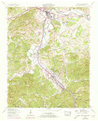
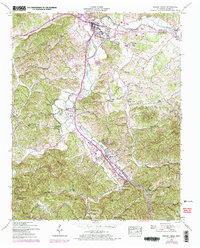
Editions of this 1956 Pigeon Forge Map
3 editions found
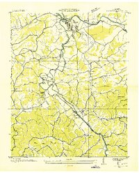
Historical Maps of Sevierville Through Time
4 maps found
Featured Locations
Source Details
SourceU.S. Geological Survey
CopyrightPublic Domain