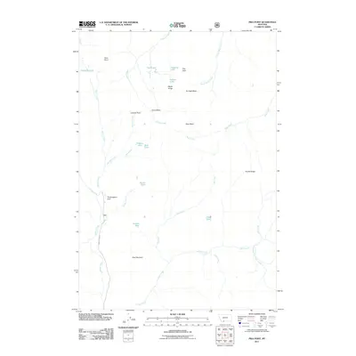
2011 Map of Pika Point
USGS Topo · Published 2011About this map
Potamogeton Park and the high basins of the Madison Range define this landscape, where a dense network of alpine lakes and seasonal streams feeds into the Beaver Creek drainage. The geography is characterized by high-altitude plateaus and drainage basins, including the Carrot Basin, Sunlight Basin, and Sage Basin. Named peaks such as Boat Mountain, Apex Point, and the namesake Pika Point provide significant landmarks for understanding the local topography. This 2011 survey captures the area's hydrology in detail, showing a cluster of small lakes such as Axolotl Lake, Minnie Lake, and Juncus Lake that sit tucked between ridges. Human access is limited to the corridor along Beaver Creek Rd, reflecting the managed and protected nature of this mountain environment.
Find a feature on this map
33 named features on this map. Tap any name to fly to it.
Don’t see what you’re looking for? This feature index may not catch every label — zoom into the map to look around manually.
Map Details
Editions of this 2011 Pika Point Map
This is the sole edition of this map. No revisions or reprints were ever made.
Other maps of this area
1888 · Three Forks
USGS Topo · 1:250,000
1894 · Three Forks
USGS Topo · 1:250,000
1895 · Three Forks
USGS Topo · 1:250,000

1947 · Bozeman
USGS Topo · 1:250,000

1948 · Bozeman
USGS Topo · 1:250,000
1950 · Hebgen Dam
USGS Topo · 1:62,500
1950 · Sphinx Mountain
USGS Topo · 1:62,500
1955 · Bozeman
USGS Topo · 1:250,000
1955 · Crown Butte
USGS Topo · 1:62,500

1955 · Ashton
USGS Topo · 1:250,000