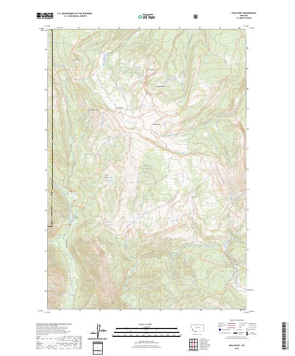
2024 Map of Pika Point
USGS Topo · Published 2024About this map
Gallatin National Forest and the Lee Metcalf Wilderness dominate this high-elevation landscape, where a dense network of forest trails navigates the divide between the Madison and Gallatin county line. The terrain is defined by dramatic ridgelines including Wapiti Ridge and Skyline Ridge, which shelter numerous small alpine basins like Sunlight Basin and the expansive Carrot Basin.
Find a feature on this map
56 named features on this map. Tap any name to fly to it.
Don’t see what you’re looking for? This feature index may not catch every label — zoom into the map to look around manually.
Map Details
Editions of this 2024 Pika Point Map
This is the sole edition of this map. No revisions or reprints were ever made.
Other maps of this area

1888 · Three Forks
USGS Topo · 1:250,000

1894 · Three Forks
USGS Topo · 1:250,000

1895 · Three Forks
USGS Topo · 1:250,000

1947 · Bozeman
USGS Topo · 1:250,000

1948 · Bozeman
USGS Topo · 1:250,000

1950 · Hebgen Dam
USGS Topo · 1:62,500

1950 · Sphinx Mountain
USGS Topo · 1:62,500

1955 · Bozeman
USGS Topo · 1:250,000

1955 · Crown Butte
USGS Topo · 1:62,500

1955 · Ashton
USGS Topo · 1:250,000