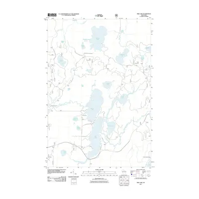
2011 Map of Pike Lake
USGS Topo · Published 2011About this map
Pike Lake and Round Lake dominate this Wisconsin lake country landscape, forming a central waterway system connected to the South Fork Flambeau River. In the early 21st century, this area of Oneida County remains characterized by a dense network of glacial lakes and recreational infrastructure. Features like the Sentinal Point Lookout Tower stand as landmarks for navigation and fire observation, while the presence of Franks Seaplane Base on Squaw Creek indicates the importance of aerial access in this water-heavy region. The map details a transition from established seasonal settlements to conservation and recreation, evidenced by the numerous specialized campsites including Emily Lake Campground, Twin Lakes Campground, and Fishtrap Campground. Local transport is facilitated by a grid of named roads such as Shady Knoll Rd and Thorofare Rd, providing access to smaller interior waters like Apeekwa Lake and Wabasso Lake.
Find a feature on this map
56 named features on this map. Tap any name to fly to it.
Don’t see what you’re looking for? This feature index may not catch every label — zoom into the map to look around manually.
Map Details
Editions of this 2011 Pike Lake Map
This is the sole edition of this map. No revisions or reprints were ever made.
Other maps of this area

1938 · Lac Du Flambeau
USGS Topo · 1:48,000

1939 · Lac Du Flambeau
USGS Topo · 1:48,000

1939 · Winchester
USGS Topo · 1:48,000

1940 · Mercer
USGS Topo · 1:48,000

1941 · Pike Lake
USGS Topo · 1:48,000

1942 · Pike Lake
USGS Topo · 1:48,000

1945 · Mercer
USGS Topo · 1:48,000

1946 · Winchester
USGS Topo · 1:48,000

1946 · Lac Du Flambeau
USGS Topo · 1:48,000

1947 · Mercer
USGS Topo · 1:48,000