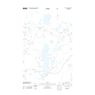
2013 Map of Pike Lake
USGS Topo · Published 2013About this map
Pike Lake and the South Fork Flambeau River anchor this aquatic landscape in northern Wisconsin, where a intricate network of glacial lakes and wetlands defines the geography. The presence of the Sentinal Point Lookout Tower near Miles Lake indicates the importance of fire surveillance within these heavily wooded stretches of the Northwoods. Recreational infrastructure is established through sites like Twin Lakes Campground and Emily Lake Campground, connected by a web of forest routes including Chequamegon Forest Trl and Twin Lakes Rd. The map illustrates a region managed for both conservation and seasonal tourism, with numerous smaller water bodies such as Apeekwa Lake, Amik Lake, and Turner Lake feeding into the river system. Transportation is largely limited to unpaved access roads and State Hwy 70, which skirts the southern edge of the lake complexes.
Find a feature on this map
60 named features on this map. Tap any name to fly to it.
Don’t see what you’re looking for? This feature index may not catch every label — zoom into the map to look around manually.
Map Details
Editions of this 2013 Pike Lake Map
This is the sole edition of this map. No revisions or reprints were ever made.
Other maps of this area

1938 · Lac Du Flambeau
USGS Topo · 1:48,000

1939 · Lac Du Flambeau
USGS Topo · 1:48,000

1939 · Winchester
USGS Topo · 1:48,000

1940 · Mercer
USGS Topo · 1:48,000

1941 · Pike Lake
USGS Topo · 1:48,000

1942 · Pike Lake
USGS Topo · 1:48,000

1945 · Mercer
USGS Topo · 1:48,000

1946 · Winchester
USGS Topo · 1:48,000

1946 · Lac Du Flambeau
USGS Topo · 1:48,000

1947 · Mercer
USGS Topo · 1:48,000